
The United Kingdom has awakened to its first significant cold snap of the season, with wintry conditions expected to persist across coastal regions after up to 7cm of snow blanketed parts of the country overnight.
Widespread Snowfall Records
Multiple weather stations across the UK recorded substantial snowfall during Wednesday morning. The most significant accumulation was measured at Lake Vyrnwy in Powys, Wales, where 7cm of lying snow was recorded at 8am.
Scottish stations reported particularly notable figures, with Altnaharra in the Highlands matching the 7cm measurement. Other Scottish recordings included 5cm in Lerwick, Shetland, 4cm in Loch Glascarnoch, and 2cm in Aviemore. English stations at Redesdale Camp in Northumberland and Dyce in Aberdeenshire both recorded 1cm of settled snow.

Coastal Areas Bear the Brunt
Met Office officials have confirmed that wintry showers will continue to affect windward coasts throughout the day. North Scotland, along with the east and west coasts of the UK, are expected to see persistent wintry conditions, while central inland areas should experience brighter and drier weather.
A Met Office spokesperson elaborated: "We will continue to see wintry showers on the windward coasts, so north Scotland as well as the east and west coasts of the UK. It'll be brighter and drier in central inland areas."
Multiple Weather Warnings Issued
The Met Office has activated several yellow warnings for ice and snow covering the coming days. These alerts extend across Northern Ireland, parts of Wales, northern and south-westerly regions of England, and much of Scotland.
Neil Armstrong, Met Office Chief Forecaster, provided context for the cold snap: "Cold Arctic air from the north is firmly in charge of the UK's weather, bringing the first notable cold snap of this autumn and giving an early taste of winter weather."
Armstrong further warned: "Winter hazards are likely through the next few days, with snow and ice a particular hazard, and the coldest conditions likely on Wednesday and Thursday."
Significant accumulations are anticipated in some regions, with forecasts predicting 2-5cm in areas most affected by frequent showers. Higher ground in Scotland could see 15-20cm, while the North York Moors and Yorkshire Wolds might experience accumulations of 15-25cm.
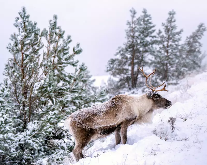
The early winter conditions have already transformed landscapes across the country, from the Pennine Way trail near Oldham to the Scottish Highlands near Aviemore, where Britain's only free-ranging reindeer herd roams the Cairngorm mountains.


