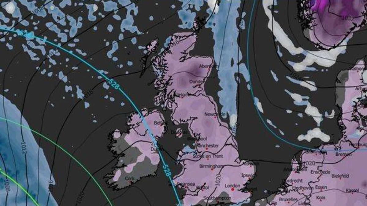
735-Mile Blizzard Forecast to Hit UK: 72 Cities on Snow Alert
735-Mile UK Blizzard Forecast for February

Britain is bracing for a colossal winter storm, with weather maps forecasting a devastating 735-mile blizzard set to strike in early February. The entire nation, from the northern tip of Scotland down to the south coast of England, is on alert for significant snowfall and plummeting temperatures.

Nationwide Snow Blanket Predicted

According to detailed charts from WXCharts for Saturday, 1 February, at 12pm, the UK is set to be engulfed by a vast snow system. The maps show a telling shade of purple, indicating heavy snowfall stretching an astonishing 735 miles from Scotland all the way to Brighton. The forecast suggests that Wales, Northern Ireland, Scotland, and most of England will be blanketed, with only parts of Cornwall and the southern coastline potentially escaping the worst.

As is often the case, Scotland is predicted to bear the brunt of the snowfall. Inland areas of Aberdeenshire could see an immense 79cm of snow accumulation. Major cities including Aberdeen, Edinburgh, and Glasgow are expected to receive a lighter dusting of under 10cm.

Dangerous Freeze and Travel Disruption

The impending storm brings with it a severe cold snap. Forecasts indicate temperatures in Scotland could plunge to a bone-chilling -9°C at midday on the 1st of February, creating ideal conditions for snow to settle and cause treacherous travel conditions. In England, regions like Lancashire and North Yorkshire are set for lows of -5°C, with most of the country dipping below freezing.

Southern England is likely to see less than 3cm of snow, but predictions for the north vary dramatically. Areas just southwest of Newcastle could receive up to 25cm. In Wales, the north coast may see around 12cm, while Belfast in Northern Ireland could get up to 8cm.

Met Office Outlook and 'Beast from the East' Fears

The Met Office has acknowledged the complex forecasting picture. Its extended outlook from 1 February suggests the potential for low pressure to develop to the west or southwest, with high pressure to the northeast. This specific pattern increases the chance of cold conditions and the associated risk of wintry hazards across the UK, raising fears of a repeat of the infamous 'Beast from the East' weather event.

The following 72 cities have been forecast to see snow on Saturday, 1 February:

England: Bath, Birmingham, Bradford, Brighton and Hove, Bristol, Cambridge, Canterbury, Carlisle, Chelmsford, Chester, Chichester, Colchester, Coventry, Derby, Doncaster, Durham, Ely, Exeter, Gloucester, Hereford, Kingston upon Hull, Lancaster, Leeds, Leicester, Lichfield, Lincoln, Liverpool, London, Manchester, Milton Keynes, Newcastle upon Tyne, Norwich, Nottingham, Oxford, Peterborough, Preston, Ripon, Salford, Salisbury, Sheffield, Southend-on-Sea, St Albans, Stoke on Trent, Sunderland, Wakefield, Wells, Westminster, Winchester, Wolverhampton, Worcester, York.

Northern Ireland: Armagh, Bangor, Belfast, Lisburn, Londonderry, Newry.

Scotland: Aberdeen, Dundee, Dunfermline, Edinburgh, Glasgow, Inverness, Perth, Stirling.

Wales: Bangor, Cardiff, Newport, St Asaph, St Davids, Swansea, Wrexham.

Residents across the country are advised to monitor official forecasts from the Met Office and prepare for potential travel disruption, school closures, and the impacts of severe cold as the February blizzard approaches.