
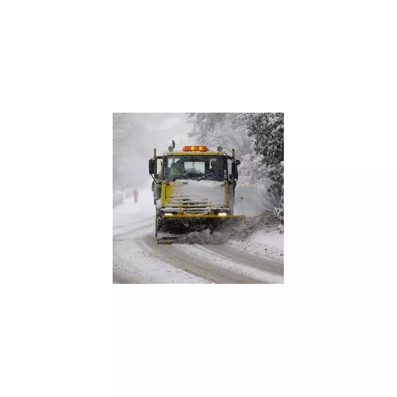
Parts of England are preparing for a significant wintry blast in the new year, with fresh forecasts indicating a prolonged period of snowfall is set to hit several northern counties.
Six Counties on Snow Alert
According to the latest data from WXCharts, up to six English counties could be affected by the incoming snow. The weather maps show the potential for snow to fall across Greater Manchester, Lancashire, and parts of West and North Yorkshire. The wintry conditions may also extend into areas of southern Cumbria and western County Durham.
Timing and Expected Accumulation
The snowfall is predicted to begin around 6am on Monday, January 5 and could last for more than 12 hours. The snow depth predictions suggest accumulations of up to two inches (5cm), particularly over high ground in the Peak District and the Yorkshire Dales.

This wintry spell will be preceded by a sharp drop in temperatures across the UK. A couple of days before the expected snow, some areas will see lows barely above freezing. The coldest conditions are forecast for Scotland, with the Highlands and Perth and Kinross bracing for overnight lows as frigid as -9°C at 3am.
Nationwide Temperature Plunge
The big chill will be widespread. Large parts of Yorkshire and the Humber and the North West are expected to see temperatures around -4°C. Similarly, North Wales could plunge to -4°C, while Cardiff and Swansea are likely to experience a chilly -1°C.
Even traditionally milder regions won't escape the cold. Forecasts suggest temperatures will hover between -2°C and -1°C in London, the South West, and the East of England.
Met Office Outlook for the New Year Period
The Met Office's broader forecast for the period from Sunday, December 28 to Tuesday, January 6 indicates that high pressure will likely dominate across the UK at the start of this period and through to the end of the year.
"This means that weather conditions will be largely settled and for many places it will remain dry," the forecast states. "It may often be rather cloudy, but any rainfall that does develop is expected to be light with overall accumulations small. Winds will mostly be light with temperatures close to or slightly below normal."
Looking into early 2026, the Met Office anticipates little change through the first week of January, with settled and mainly dry conditions continuing for many. However, they note a small chance that more unsettled, wetter, and milder weather could develop at times, particularly in the north.
Residents and travellers in the affected counties are advised to monitor the latest forecasts and be prepared for potential disruption to travel on Monday, January 5, due to the predicted snow and icy conditions.


