
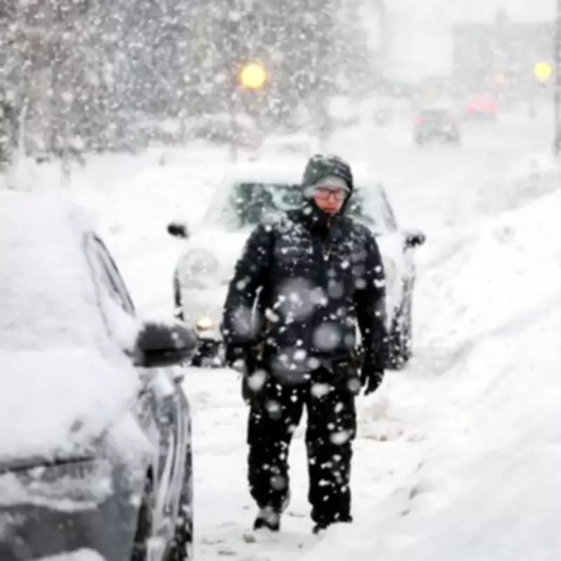
UK Braces for Heavy Snowfall as Forecast Maps Turn Purple
Exclusive meteorological data indicates that the United Kingdom is set to experience a significant winter weather event, with forecasts predicting up to 10 inches of snow in parts of Scotland within days. British Weather Services' senior meteorologist, Jim Dale, has provided detailed insights into the impending freeze, highlighting which regions will be most affected by the snowfall.
Regional Snowfall Predictions and Timing
According to Jim Dale, large swathes of Scotland are expected to be blanketed by snow starting on Thursday. The snowfall is then projected to extend to parts of Northern Ireland, northern England, and Wales by Friday, particularly impacting higher ground areas. Over the weekend, northern sections of the Midlands may also see some snowfall, accompanied by widespread frost and ice. Southern England, however, is likely to remain snow-free, though temperatures will drop significantly.
Snow depth maps from WXCharts reveal alarming projections, with up to 162cm (63 inches) of snow potentially settling on hills in northern Scotland by Sunday morning. Southern Scotland could see around 12cm (five inches), while northern England's hills might accumulate 8cm (three inches). The Midlands and southern regions are forecasted to receive only 1cm-2cm, if any.

Met Office Forecast and Long-Range Predictions
The Met Office corroborates the unsettled weather pattern, noting that Thursday will bring outbreaks of rain across the UK. A sharp temperature drop is expected on Friday, increasing the likelihood of snow showers, especially in northern areas. For Valentine's Day on Saturday, forecasters anticipate dry, cold, and sunny conditions for most of the country.
Looking further ahead, the Met Office's long-range forecast from February 15 to 24 suggests that Atlantic low-pressure systems will dominate, bringing showers or prolonged rain. Heavy rain is probable in western hills, with snow at times in the north, mainly on high ground. Strong winds are also possible, particularly around coastal regions. Temperatures are expected to be near normal, but there is a chance for drier, more settled conditions to develop later in the period.
From February 25 to March 11, the forecast remains uncertain, with low confidence in dominant weather patterns. Signals point to both changeable, unsettled conditions with heavy rain risks and periods of drier, settled weather that could lead to colder spells. The latter scenario is currently considered slightly more probable.
Detailed Five-Day Weather Outlook
- Wednesday: Largely cloudy with outbreaks of rain for most areas. Windy and cold in the north, breezy near the English Channel initially. Mild conditions in the south.
- Thursday to Saturday: Unsettled at first with further rain. Turning colder from Friday, with a chance of snow showers, especially in the north. Dry, cold, and sunny for many on Saturday.
Meteorologists stress that these figures are still arbitrary and subject to change as the forecast evolves. Residents in affected regions are advised to stay updated on weather warnings and prepare for potential disruptions due to snow and icy conditions.


