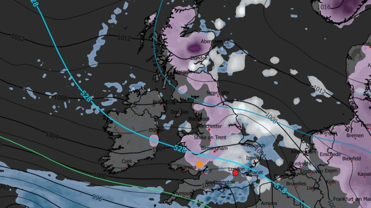
New weather maps from WXCharts show a 600-mile wall of snow set to blanket the entire length of the UK from north to south on 13 February, just before Valentine's Day. The Arctic system is expected to bring light snow accumulation of up to a centimetre or two, but conditions will also generate rare freezing rain over a smaller area.
Freezing rain is forecast to fall over southern Wales, particularly north of Newport and Cardiff, covering areas such as Caerphilly, Cwmbran, Pontypool, Merthyr Tydfil and Ebbw Vale. Temperatures are predicted to drop to -4C, with the freezing rain lasting only about three hours from 3pm to 6pm, delivering roughly 0.1mm per hour. The rain will cross the Severn estuary but will fall as normal rain over Bristol.
The snow is expected to remain settled across the country through at least 15 February. The Met Office's long-range forecast for 6 to 15 February warns of further rain and colder air, with frontal systems stalling against high pressure to the north. Rain will affect areas already sensitive to flooding, and snow is possible over higher ground in northern England and Scotland as they encounter cold air.
The forecast adds that a southward shift of low pressure in the second week of February could allow colder air to spread across larger parts of the UK, including the south, increasing the risk of wintry hazards. Meanwhile, the Met Office has issued yellow weather warnings for ice and rain lasting until 2 and 3 February in the southwest, bringing risks of fog and slippery surfaces.