
The Met Office has issued a detailed forecast naming specific UK areas where snow is expected to fall within hours today. Advanced weather mapping indicates that more than 15 centimetres of snow could accumulate on the ground in some northern regions, as a persistent cold spell grips the nation despite the imminent arrival of April.
Arctic Conditions Persist Across the UK
Low pressure systems continue to drive Arctic weather from the northwest, maintaining subzero temperatures and wintry conditions across much of the country. The Met Office reports that this chilly pattern will dominate today, particularly in northern areas, before a shift towards milder Atlantic air influences the weather from Tuesday onward.
Forecaster Insights on Temperature Trends
Met Office forecaster Honor Criswick commented on the evolving situation, stating, "It's still fairly chilly out there this morning but then we turn to a bit more of a westerly, this brings us in some milder Atlantic air so from Tuesday onwards things are certainly not going to feel quite as chilly as they have done recently." This suggests a gradual improvement in conditions later in the week, with temperatures potentially rising into double figures for many parts of the UK.

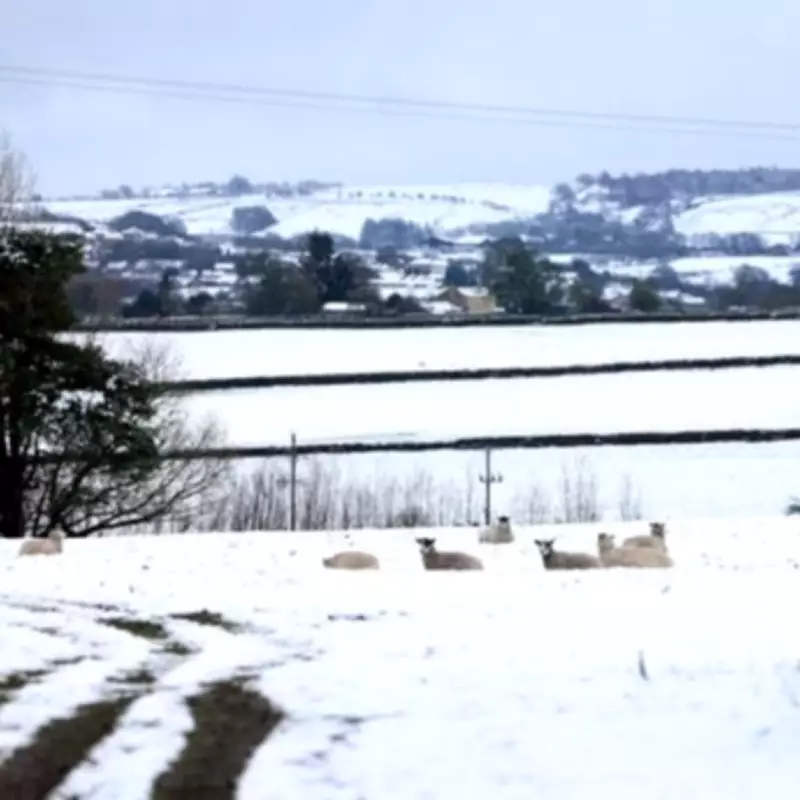
Specific Areas Targeted by Snowfall
The Met Office has pinpointed several regions where snow is most likely to occur today, primarily focusing on higher elevations. These areas include:
- The Scottish Highlands, particularly around the Cairngorms, Glencoe, Lochaber, and Ben Nevis.
- The Southern Uplands and high routes through the Pennines, though snow in northern England is expected to be limited to hilltops.
- Upland parts of Perthshire and Aberdeenshire, as well as higher ground in northwest Scotland.
Forecasters note that "snow over the hills at first" will affect parts of the north this morning, with conditions gradually easing throughout the day. In contrast, southern regions are predicted to remain largely dry with sunny spells, though a few showers are possible.
Weather Maps and Temperature Details
Current weather maps reveal temperatures as low as -1°C in central Scotland at midday today, with much of the country experiencing low single figures. Accumulations could reach up to 16 centimetres of snow in northern Scotland, highlighting the severity of the wintry conditions. The Met Office summary for today reads: "Blustery showers in the north will continue this morning, with snow over the hills at first, but these will gradually ease through the day. Largely dry in the south with sunny spells, although a few showers possible. Winds easing."
Broader Weather Patterns and Outlook
This cold spell is attributed to low pressure systems that have been bringing Arctic weather from the northwest, disrupting typical spring conditions. However, the low pressure is expected to move away to the north after today, allowing high pressure from the Atlantic to exert more influence. This transition is anticipated to bring milder air and a reduction in wintry showers as the week progresses.
Residents in affected areas are advised to stay updated on local forecasts and travel conditions, as snow and icy temperatures may impact roads and daily activities. The Met Office continues to monitor the situation closely, providing regular updates to ensure public safety during this unseasonably cold period.


