
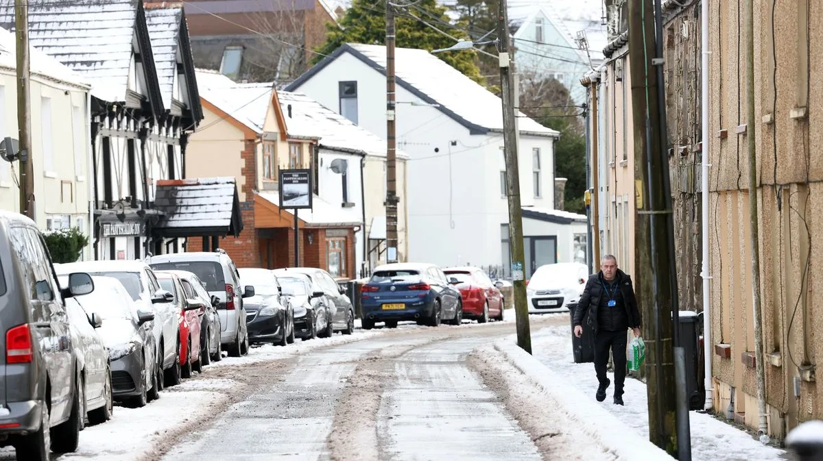
Britain's brief spring warmth is set to end as new forecasts predict snow across 18 counties in England and Wales within days. After temperatures reached 26.6°C on April 9, the warmest day of the year so far, weather maps from WXCharts indicate wintry conditions will arrive by April 30, with up to 4cm of snow expected in parts of Wales.
Snowfall is predicted to begin around midnight and peak at 6am. Wales is expected to be hardest hit, with the heaviest snow likely in Powys, mid-Wales, extending to higher ground in Snowdonia and the northwest coast, including Anglesey. In England, a broad stretch of counties from the Midlands to the North, including Manchester, Stockport, Huddersfield, and Bradford, could see flurries. Further south, parts of Gloucestershire near the Cotswolds, Wiltshire towns such as Chippenham, and even Bath may experience lighter snowfall.
The Met Office has warned that cold air could sweep across much of the UK in late April. Its long-range forecast from April 22 to May 1 states: 'High pressure is likely to remain centred to the north or northwest of the UK for much of this period... The latter part of April may also see cold air sweep south across much or all of the UK for a time, bringing potential for wintry showers in the north and east and more widespread overnight frost. Any cold spell looks fairly likely to be short-lived before somewhat milder conditions become re-established.'




