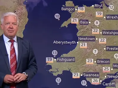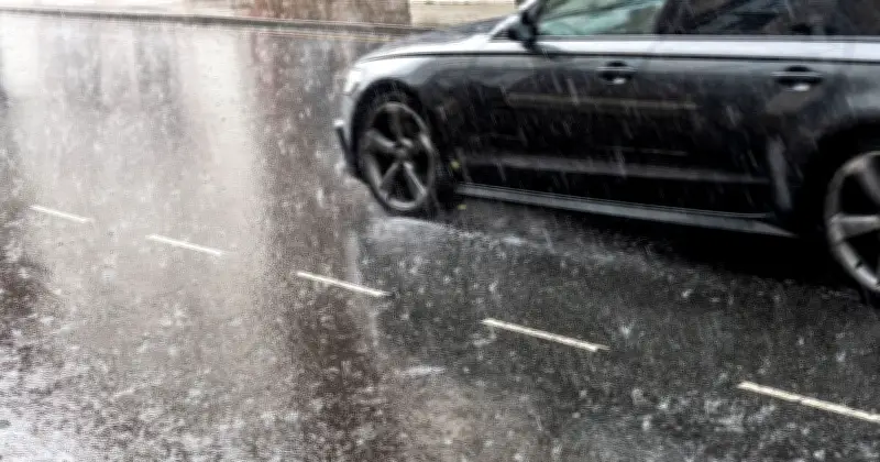
The Met Office has issued its first tentative predictions for the UK's late summer August Bank Holiday weather, indicating a potential washout. The forecaster says the next 10 days could see a return to more typical mixed conditions, with rain, colder temperatures, thunder, lightning, and hail all contributing to a more unsettled picture after weeks of heatwaves.
Rainfall Totals Expected to Be Highly Variable
In the coming days, rain will lash the UK, though conditions will be 'highly variable'. The Met Office said on Thursday afternoon: “Rainfall totals over the next few days are expected to be highly variable because much of the rain will fall in the form of showers. Some locations, particularly in northern and western England, west Wales, Scotland and Northern Ireland, could see between 30mm and 50mm of rain.
“However, other areas, especially parts of central and southeastern England, may receive very little rainfall. This highlights the hit-and-miss nature of summer showers and why they are often less effective at relieving drought conditions than prolonged spells of steady rain.”

Uncertainty Over Bank Holiday Weekend
Though it is less certain what will happen over the medium term, the Met Office has pointed to the possibility of rain on the Bank Holiday weekend, especially in the West of the country. But it could spread out across much of the UK, the forecaster says.
It added: “Confidence decreases as we move into the second half of next week. Forecast models broadly agree that low pressure is likely to be close to the UK by late August, but there remains uncertainty over exactly where it will track and how quickly it will arrive.
“The most likely scenario currently favours a return to more unsettled conditions later next week and into the bank holiday weekend, with an increasing risk of rain and stronger winds. Some forecast scenarios keep the wettest weather to the west, while others bring more widespread rainfall across much of the UK.”
Below Average Temperatures and Thunderstorm Warning
For now, the forecaster is predicting below average temperatures this Thursday and Friday. It adds: “Temperatures will fall below average in many places during Thursday and Friday. Frequent showers are expected across the country, with some particularly heavy downpours developing across northern and central England and parts of Wales. Thunderstorms and hail are also possible in places.”
A yellow weather warning for thunderstorms remains in place until 1pm today across parts of northern England and north Wales.