
The Met Office has issued a detailed 10-day weather forecast, specifically identifying areas across the United Kingdom that could experience snowfall as early as the beginning of March. Both the Met Office and BBC Weather are predicting the arrival of wintry conditions, with snow likely to affect certain regions within just a few days.
Unsettled Conditions Expected Across the UK
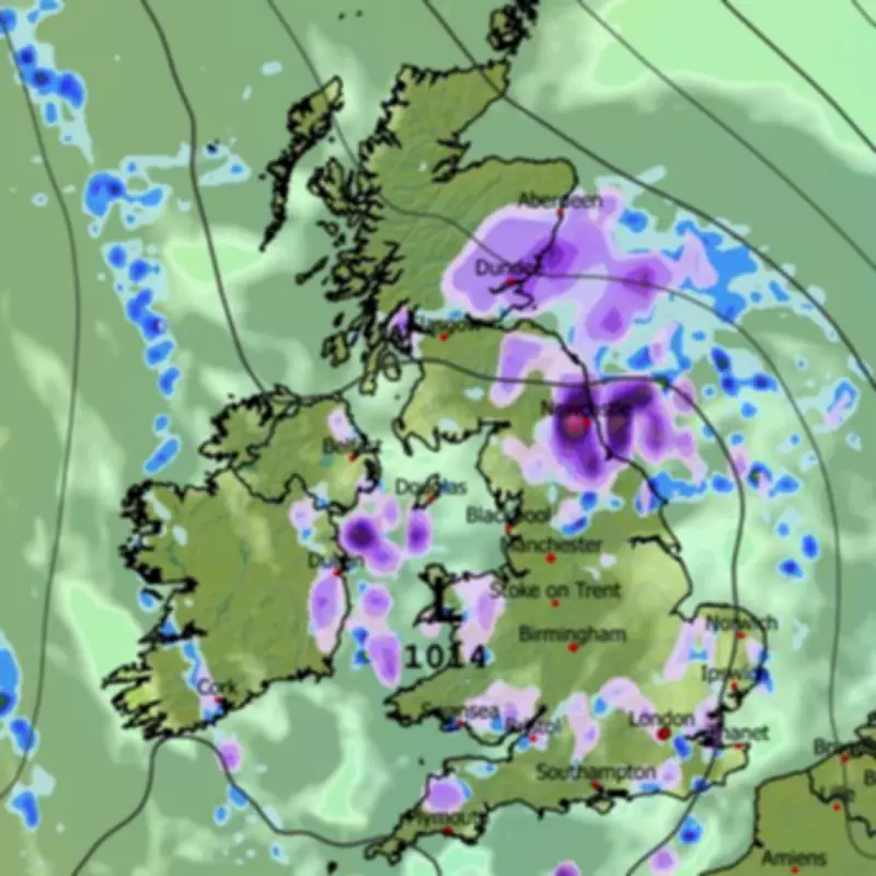
The national weather agency anticipates an unsettled conclusion to the current week, with showers probable over the coming days. All areas are expected to face occasional longer spells of rain, although these will be most prevalent in western regions. Temperatures are forecast to move nearer to the seasonal average by the weekend, setting the stage for potential snow events in March.
Detailed Forecast for March 1 to March 10
In its extended forecast covering March 1 through March 10, the Met Office indicates that changeable conditions will dominate for most of the UK as Atlantic frontal systems spread across the country. While some drier and brighter interludes are on the cards, rainfall will persist, with the heaviest precipitation expected in north-western areas. Sheltered eastern regions may see much less rain, and parts of the south-east could remain largely fine.

However, the Met Office explicitly states that snow is possible at times during this period. The forecast highlights high ground in the north as the most likely location to witness flurries at the start of next month. Additionally, there is a risk of gales, with winds probably strong at times, though temperatures are likely to be near to or slightly above average.
BBC Weather Corroborates Snow Predictions
BBC Weather also suggests that wintry showers could develop over hills in the northern UK. Its forecast for March 2 to 8 explains that low pressure and frontal systems should primarily target the north-western UK, bringing occasional wet and windy weather to that area. Some frontal rain or showers may penetrate other regions, but precipitation amounts are likely to be below average across southern and eastern areas, which could enjoy more sunshine.
Rain and stronger winds might shift farther south later in the week, with brighter weather expected between systems. Transient shots of chillier air could bring some wintriness on higher ground, particularly across the northern UK and Scotland. Where winds drop sufficiently, overnight fog patches will be possible, adding to the variable weather patterns.
This coordinated forecasting from both the Met Office and BBC Weather underscores a significant shift towards colder, snow-prone conditions as March begins, with specific attention on northern elevations for the highest likelihood of snowfall.


