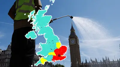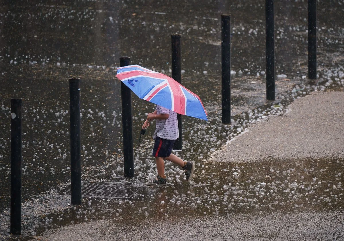
The Met Office has issued a yellow weather warning for thunderstorms across London and much of England and parts of Wales, lasting until 5am on Monday. Forecasters warn that heavy rain could lead to flooding, putting homes and businesses at risk of damage.
Throughout Sunday and into Monday morning, the warning highlights the possibility of difficult driving conditions and localised flooding. The Met Office's statement notes that there is a small chance of rapid flooding, with potential damage from floodwater, lightning, hail, or strong winds.
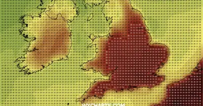
Temperatures in London are expected to reach 18°C on Sunday despite the rain. Monday will see similar highs but with wet conditions persisting in the morning before clearing later.

Transport disruptions are also possible, including road closures and train cancellations. Met Office meteorologist Rebecca Hudson explained that the warning covers a triangular area from East Yorkshire down to Cardiff, East Devon, London, and East Anglia.
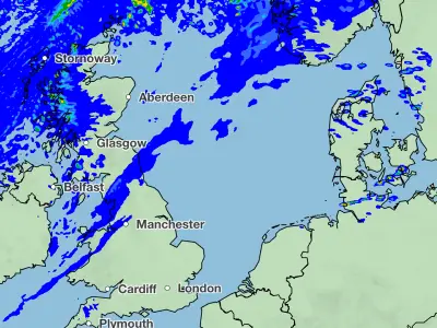
Hudson added that heavy rain will move through Sunday morning, weaken in the afternoon, but return with further heavy showers in the evening. Overnight conditions should gradually dry out into Monday morning, with some sunny spells expected.