
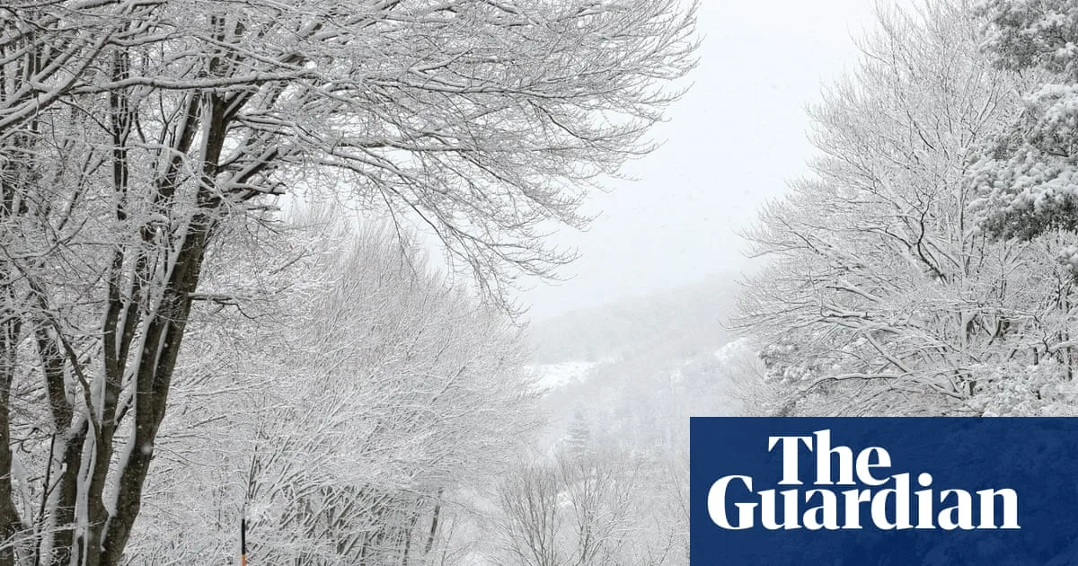
Southern Europe has been hit by severe weather this week as a low-pressure system, previously responsible for colder conditions in the UK, moved southwards across the continent. The system brought a cold front across western and central parts of Europe, resulting in rain and hill snow in the Alps on Wednesday, followed by snow showers on a brisk north-westerly wind. By Friday morning, accumulations of 20-40cm were expected above 600 metres, and 60-100cm above 1,000 metres in the Swiss Alps.
The low-pressure centre settled in the Adriatic Sea on Thursday, bringing sharp thundery showers, rain, sleet, hill snow, and strong winds to surrounding countries. Croatia was particularly affected, with 15-50cm of widespread heavy snowfall forecast in the Gospić region, along with the risk of blizzard conditions and snowdrifts due to strong north-easterly winds. The strongest gust of nearly 70mph was recorded at Rijeka international airport, likely caused by a cold, dense katabatic wind known as the bora wind.
Weather warnings remain in place across Croatia and Slovenia as the bora winds continue, with peak gusts of up to 100mph forecast by national weather agencies. Conditions are expected to ease through Friday.

Meanwhile, in Australia, Cyclone Narelle has been affecting much of the northern half of the country. Forming in the south-west Pacific Ocean on 15 March, Narelle quickly strengthened to a category 4 storm on the Saffir-Simpson scale, with gusts over 165mph off the coast of Queensland. After making landfall, the cyclone attempted a rare circumnavigation of Australia, traversing the entire northern coast before re-emerging over the Indian Ocean on Tuesday.
Tropical cyclone landfalls are not uncommon for Australia's coasts, but the last storm to survive the trip from east to west was Cyclone Steve in 2000. Narelle re-intensified to category 4 strength on Thursday as it turned southwards towards the North West Cape. The storm's final leg is expected on Friday as it moves inland through Western Australia near Perth.


