
Hundreds of schools are closed and many roads are blocked or treacherous to drive on as the UK feels its first significant blast of winter, with snow blizzards, ice and freezing temperatures. Many parts of the UK experienced the coldest night of the season, with temperatures dropping to -6.6C at RAF Benson, Oxfordshire.
The Met Office issued eight separate yellow snow and ice weather warnings for Thursday, covering Devon and Cornwall, parts of Kent, the east coast of England and East Anglia, north-east England, south-west and north-west Wales, Northern Ireland and northern Scotland. On the North York Moors and the Yorkshire Wolds a rare amber weather alert from 3am to 9pm was also in place, warning of occasional blizzards and significant snow falls of up to 25cm on hills.
In Scotland, the worst-hit region was Aberdeenshire, where more than 90 schools did not open. In Wales, 36 were closed in Pembrokeshire, 14 in Carmarthenshire and seven in Ceredigion. About 30 schools in North Yorkshire, eight in East Yorkshire and a handful in Northumberland did not open because of the poor weather.

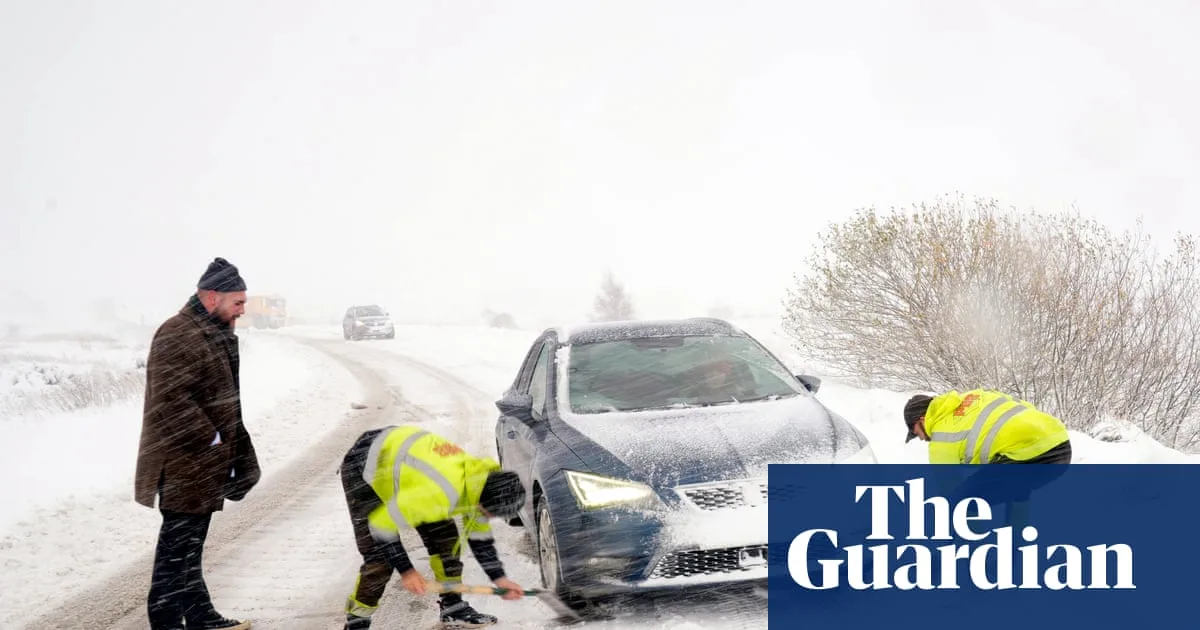
Roads were closed because of snow in northern England, including the northbound carriageway of the A1 between Morpeth and Alnwick in Northumberland for more than two hours. The A171 was closed, with police advising motorists to avoid travelling to Malton, Scarborough, Whitby and Filey. Drivers in North Yorkshire were advised to make only necessary journeys.
Shaun Jones, an AA expert patrol, said: “When snow and ice hit, the roads can quickly become treacherous. Stopping distances can increase tenfold on icy surfaces, so slowing down and leaving plenty of space is absolutely vital.” The Met Office also reported “thundersnow” in Aberdeenshire and off the coast in the north-east.
On Thursday night temperatures could drop to as low as -10C in rural Scotland. An amber cold health alert issued by the UK Health Security Agency remains in force across northern England until 8am on Saturday. Temperatures will begin to rise at the weekend, but it will not be as “exceptionally mild” as earlier this month.


