
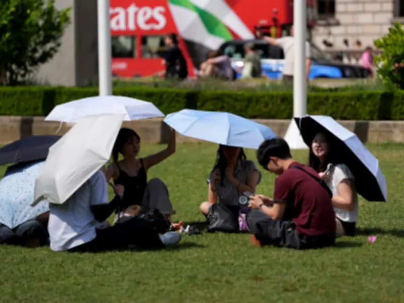
The Met Office has issued a forecast indicating that a heatwave could bring temperatures as high as 37°C to parts of the UK in early August, with a possibility of thunderstorms accompanying the warm spell.
Forecast Details and Regional Impacts
According to the Met Office's long-range forecast covering July 31 to August 14, conditions are expected to become "very warm by the start of August." Weather maps suggest that the highest temperatures will be concentrated in southern England, with Sussex and Gloucestershire potentially reaching 36°C and 37°C respectively. London is forecast to see 32°C on July 31 and 33°C on August 1, while Suffolk and Norfolk may peak at 34°C.
Potential for Thunderstorms and Unsettled Weather
The Met Office statement notes: "Higher pressure is considered generally more likely than lower pressure through August. This means settled and dry weather will likely prevail, especially across the south. Some rain is still likely at times, especially across northern parts." It adds that "occasional summertime thunderstorms are possible on some days given the right ingredients." Despite the chance of rain, the forecaster highlights "potential for further hot spells, particularly in the south."
Warmth Persists into August
Temperatures are forecast to be near or above normal for the period, with the warmest conditions expected in the south. The Met Office warns that the heat could become "very warm again" at the start of August. While many areas may experience mainly dry weather, the possibility of thunderstorms remains, particularly if the right atmospheric conditions align.




