Weather forecasting models suggest temperatures in the UK could rise to 34C within the next fortnight, with 15 counties in eastern and south-eastern England forecast to reach 31C or more. The prediction follows the Met Office indicating that more heatwaves may be on the horizon.
Current conditions and forecast
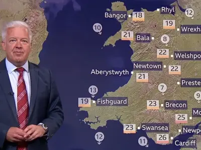
Temperatures are expected to remain in the mid to low-20s in southern areas this week, dropping into the high teens in northern areas. Rain is forecast across large swathes of Scotland, Northern Ireland, Wales and England, offering a reprieve from the dry spells that have plunged several areas into drought this summer.
The GFS model shows the mercury could rise back to 30C in eastern parts of England on September 1. The data also indicates potential highs of 29C in the Midlands, with temperatures possibly rising to 28C as far north as Yorkshire, and to 26C in South Wales.

Potential 34C surge in early September
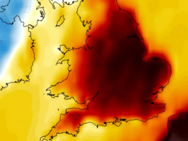
Even warmer conditions could follow on September 2. The data shows potential highs of 34C in Essex, with 32-33C on the cards widely across eastern and south-eastern England. Temperature anomaly maps for the start of September show England and Wales shaded in areas of orange and red, suggesting temperatures will rise above the seasonal average once more.
In total, the GFS model suggests 15 counties could see temperatures of 31C or more at the start of September. They are all in eastern or south-eastern England: Lincolnshire, Northamptonshire, Norfolk, Suffolk, Cambridgeshire, Bedfordshire, Buckinghamshire, Hertfordshire, Essex, Oxfordshire, Berkshire, Hampshire, Surrey, Kent and Sussex.
Met Office outlook
In its forecast for September 2 to September 16, the Met Office says “late season hot spells or heatwaves” could develop, particularly in southern areas. However, “a broad northwest-southeast split in conditions” is on the cards, with more northern areas facing “the lion's share of the rain and any strong winds” while southern areas are likely to be drier.
The Met Office declares an official heatwave when temperatures hit the ‘heatwave threshold’ three days in a row. The threshold stands at 28C in the south-east, where conditions tend to be warmer, and drops to 25C the further away from the south-east one goes.