
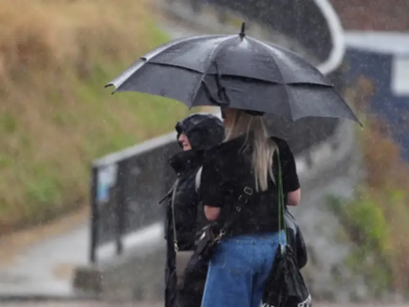
The Met Office has indicated when a "notable change" in weather conditions will occur following a heat spike that could see temperatures climb to 38°C. The update comes after a rare amber weather warning for extreme heat was extended to 47 places across England, in effect from 9am on Thursday, 13 August, until midnight, covering seven regions.
Hottest day and drought conditions
Thursday could become the hottest day of the year so far as the fifth heatwave of the summer peaks. July was officially declared the driest on record, leading to drought across much of southern England and Wales.
Forecasters at the Met Office have issued their verdict on when, where, and how much rain will break the scorching conditions. In the latest 10-day trend posted on the national weather service's website, a spokesperson said fresher Atlantic air is moving in to displace the oppressive warmth, with this break in extreme heat moving in rapidly from the west.
Temperature drop and rainfall by region
Temperatures are expected to drop to a more comfortable 20°C–25°C range over the weekend with scattered showers. From early next week, frontal systems from the Atlantic are set to bring more widespread rain and breezier weather.
While temperatures are set to drop closer to seasonal averages nationwide, the Met Office notes that the arrival and intensity of rainfall will vary significantly by region:
- Northern Ireland and Scotland: An immediate transition will start on Thursday afternoon through Friday morning, bringing cloudier skies with heavy showers and localised thunderstorms. A yellow weather warning for thunderstorms has been issued for Northern Ireland, with isolated thundery downpours spreading across Scotland.
- North West England and Wales: From late on Friday into early Saturday, a weakening cold front will bring cloudier skies, scattered showers, and a noticeable drop in humidity. Temperatures will feel significantly fresher, dropping into the low-to-mid 20s.
- South and East England: Southeastern regions will hold on to the last of the hot air through Friday, but the cooler air mass will establish itself over the weekend. While isolated afternoon thunderstorms remain possible, significant prolonged rainfall in the south remains elusive in the short term, with high pressure continuing to exert an influence.
Heaviest rainfall and outlook
High ground across the northwest is most likely to bear the brunt of the heaviest rainfall and breezy weather. While drier interludes will return as high pressure attempts to rebuild later in the month, the oppressive heatwave conditions look set to draw to a close this weekend.




