
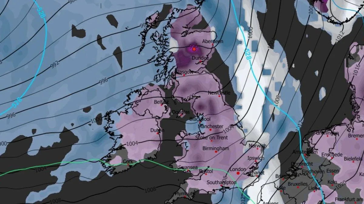
A major blizzard is set to hit the UK on Valentine's Day, with weather maps suggesting that 95% of the country could see snow settled on the ground. The storm, moving in from the Atlantic, is expected to begin at around 9pm on Saturday, February 14, affecting the south-west of England, parts of Wales, western Scotland, and all of Northern Ireland.
By midnight, snow is forecast to fall across the entire length of the UK, from the south coast of England to the far north of Scotland. Major cities including Glasgow, Manchester, Birmingham, and Cardiff are expected to experience flurries. The storm will then move eastward, covering central England and parts of the south by 3am, with London likely to see snow from around that time.
Heavy snow is predicted to continue into Sunday morning, with East Anglia and the south-east facing further wintry showers. Snow depth charts indicate the greatest accumulations in the Scottish mountains, where up to 24cm (nine inches) could fall. Parts of northern England may see 6cm (two inches), Wales 4cm (1.5 inches), and the Midlands 2cm (0.7 inches).
The BBC Weather forecast warns of a band of rain moving in from the west overnight on Saturday, falling as snow initially, with windy conditions. Sunday afternoon and Monday are expected to bring a mix of sunny spells and showers. The Met Office also predicts widespread snow on Sunday, particularly in the north, and unsettled weather into next week.




