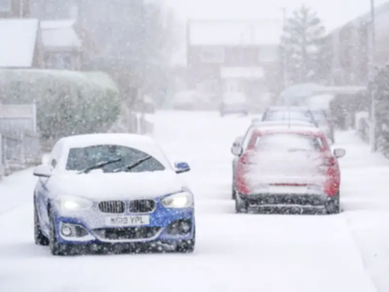
Britons dreaming of a festive winter wonderland this year may need to adjust their expectations, as meteorologists warn an exceptionally strong El Niño pattern is likely to bring wet and stormy conditions rather than settling snow. The prospect of a picturesque blanket of snow on Christmas Day is something everyone wants, but this year might not live up to expectations.
Challenging forecast for Christmas Day
Weather specialists have cautioned that predicting the exact conditions on the big day remains notoriously difficult due to Britain's changeable maritime climate. Caught in a constant battle between mild, moist air from the Atlantic and freezing, dry air from the Arctic, the nation's winter weather hangs in a delicate balance.
Experts from the Weather Outlook highlight that making definitive predictions more than a few weeks in advance is an incredibly challenging endeavour. The key factor determining which air mass dominates is the path of the jet stream, which can shift its position significantly with little notice.
El Niño's impact on winter conditions
Because of this, making a reliable forecast for Christmas Day is often not possible until mid-December at the earliest, when computer models can begin to resolve these complex patterns with greater confidence, the experts said. Long range seasonal computer models, which are updated through the autumn, give a broad-brush indication of whether the winter is likely to be colder or milder than average.
One of the most significant global drivers is the El Niño-Southern Oscillation (ENSO) cycle in the Pacific Ocean. An exceptionally strong El Niño is forecast to continue through the autumn and winter months, which correlates with an increased chance of wet and stormy conditions in late autumn and early winter. Therefore, the chance of cold spells is reduced, as is the prospect of a White Christmas away from the mountains in northern Britain.
What defines a White Christmas
Technically, the official meteorological definition of a White Christmas is simply for a single snowflake to be observed falling during the 24 hours of Christmas Day. This means the criteria can be met even without any snow actually settling on the ground.
Despite this relatively low bar, current atmospheric indicators suggest that the majority of the country should prepare for umbrellas rather than snowmen. Forecasters are continually utilising historical data and analogue indices to compare current atmospheric setups with past years, though the overwhelming signal currently points towards a milder, wetter festive period for most. Until mid-December brings clearer computer models, those holding out for a snowy Christmas morning will simply have to keep their fingers crossed that the jet stream shifts in their favour.