
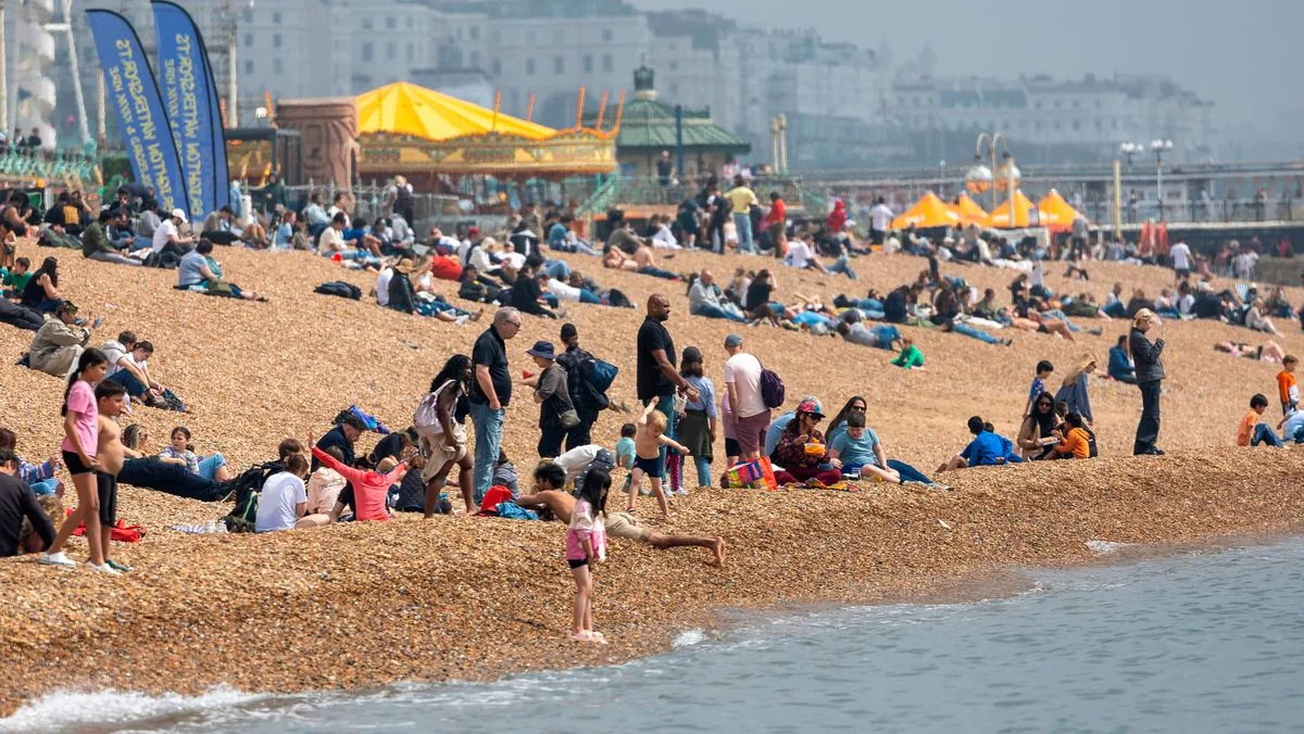
Britain is set to enjoy a burst of scorching temperatures, with fresh weather maps suggesting a 26C 'mini heatwave' could arrive on May 20. The latest forecasting data from WXCharts indicates sweltering conditions across several regions, with temperatures exceeding 20C, particularly where such warmth wouldn't ordinarily be expected at that time of year.
According to the data, areas surrounding London will experience the hottest weather, with highs of 26C. The south coast could reach 23C to 24C, while the Midlands, Southwest and East of England will enjoy 20C heat. Temperatures could climb to 18C across the North West and Wales, with the North East slightly cooler at 17C. Scotland looks set to remain chillier, with peaks between 13C and 16C.
The highs next week are a climb from Friday's temperatures, which saw just 14.8C in County Down, Northern Ireland, and 15C in Renfrewshire. Forecasters at Metdesk understand the warm spell looms, and the weather maps reflect this with yellow and orange hues across the UK.
However, the Met Office's long-range forecast covering May 13-22 suggests many Britons may not enjoy the warmer spell. It says: 'Changeable and at times rather unsettled conditions look to dominate through the middle part of May, with low pressure often close by. This means periods of rain or showers, some of which could be heavy, for many places, though some drier interludes are also expected.'
The forecast adds: 'For the most part, temperatures are likely to be close to or perhaps a little below normal, with winds often blowing from a northwesterly quadrant. By the end of this period, pressure may increase towards the southwest, which could bring more in the way of dry weather here.'




