
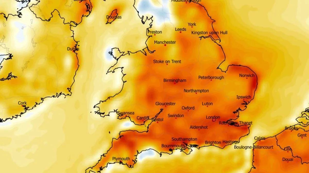
Weather modelling maps indicate that parts of the UK could see temperatures climb to 24C during a four-day spell starting on May 21, according to the ECMWF model. The forecast suggests a balmy period with highs of 23C possible in the south-east of England on the first day, spreading to 24C in London and surrounding areas on May 22.
The maps show that on May 21, much of central England could reach 20C, with the south-east hitting 23C. The following day, temperatures could rise to 24C in the south-east, while other southern areas see 22C and central England 21C. By May 23, southern England could see 23C and the Midlands 21C, with parts of Wales near the English border reaching around 20C.
May 24 is predicted to be the warmest day for widespread heat, with highs of 22C to 23C across a large swathe of England from the south coast to Yorkshire. In total, 35 counties in England and Wales could experience temperatures of 20C or above across the four days, according to the modelling.
The Met Office's forecast for May 16 to May 25 indicates a changeable period with cooler-than-average temperatures initially, but conditions are expected to turn rather warm towards the end of the month as it becomes more settled, especially in the south. The outlook suggests low pressure will dominate mid-May, bringing rain or showers, but drier interludes are also possible.




