
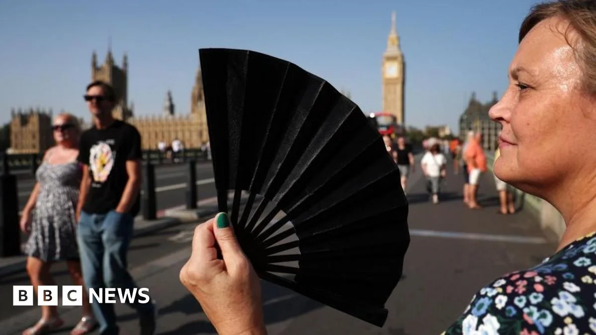
Sunday marked the seventh consecutive day of temperatures exceeding 30°C (86°F) in the UK, as the unprecedented September heatwave continues. Saturday was provisionally the hottest day of the year, with 32.7°C recorded at Heathrow.
However, the heat is largely confined to southern England, with many other parts of the UK facing thundery downpours. The Met Office has issued a yellow thunderstorm warning from 14:00 BST to 23:59 on Sunday, covering most of Northern Ireland, parts of northern England and Wales, and parts of southern Scotland.
Up to 50mm (2in) of rain could fall in under two hours, with large hail and lightning likely. The warning also indicates possible flash flooding, strong winds, and interruptions to road access and public transport.
BBC Weather presenter Sarah Keith-Lucas said Sunday would be another very hot day, especially in the south, with temperatures of 32°C possible. Further north, there is a chance of more widespread showers and thunderstorms later in the day, but southern and eastern parts should stay dry.
An amber heat-health warning from the UK Health Security Agency remains in effect for the south and east of England and London until 09:00 on Tuesday. The alert indicates that the effects of high temperatures could be felt across the whole health service, posing risks to older people and those with respiratory or cardiovascular diseases.
The record-breaking September heatwave is expected to give way through the early parts of next week, as cooler air reaches all areas of the UK. Scientists note that heatwaves have become more frequent, intense, and longer-lasting due to human-induced climate change.




