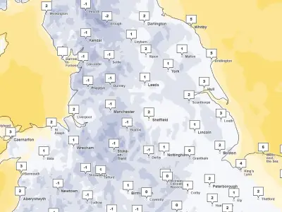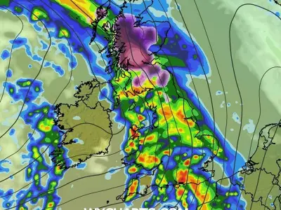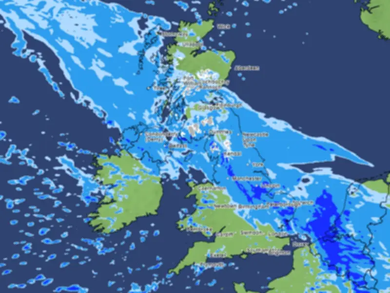
Snow that fell across parts of England and southern Scotland overnight will turn back to rain this morning, according to the Met Office. A light scattering was recorded this morning, with 3cm measured at RAF Spadeadam, Cumbria. Wintry scenes are expected to wash away quickly as rain moves in.
Mountain Snow and Weather Warning
Snow will continue over the mountain tops of Scotland and the North Pennines, with 5-10cm expected by the end of the day. A Met Office yellow warning for snow remains in place until 11am, and some areas could see localised disruption.
Met Office forecaster Dan Suri said: “Through Tuesday morning the snow will increasingly turn back to rain, with some minor surface-water impacts also possible.”
Rain and Cold-Health Alert
“Away from higher ground, and so for many people, rain rather than snow will be the main story, although it will continue to feel cold in the north. Temperatures will be closer to average further south, before more settled conditions gradually develop here late this week,” Suri added.
A UK Health Security Agency yellow cold-health alert is in force for the North West, North East, and Yorkshire and the Humber until Thursday morning. Today and Wednesday will remain unsettled.
Forecast for the Rest of the Week
Rain will affect central and northern parts of the UK, while the south will see heavy and blustery showers, with the potential for hail and thunderstorms. Fog is also possible in Northern Ireland on Wednesday morning and across parts of England and Wales on Thursday morning.
Towards the end of the week, drier but colder conditions will gradually extend southwards, with overnight frosts becoming more widespread. Friday night could be the coldest night of the week. There remains uncertainty over the weekend, with the potential for rain to return from the west. Last night’s snowfall was triggered by a band of rain moving northwards which encountered colder air.