
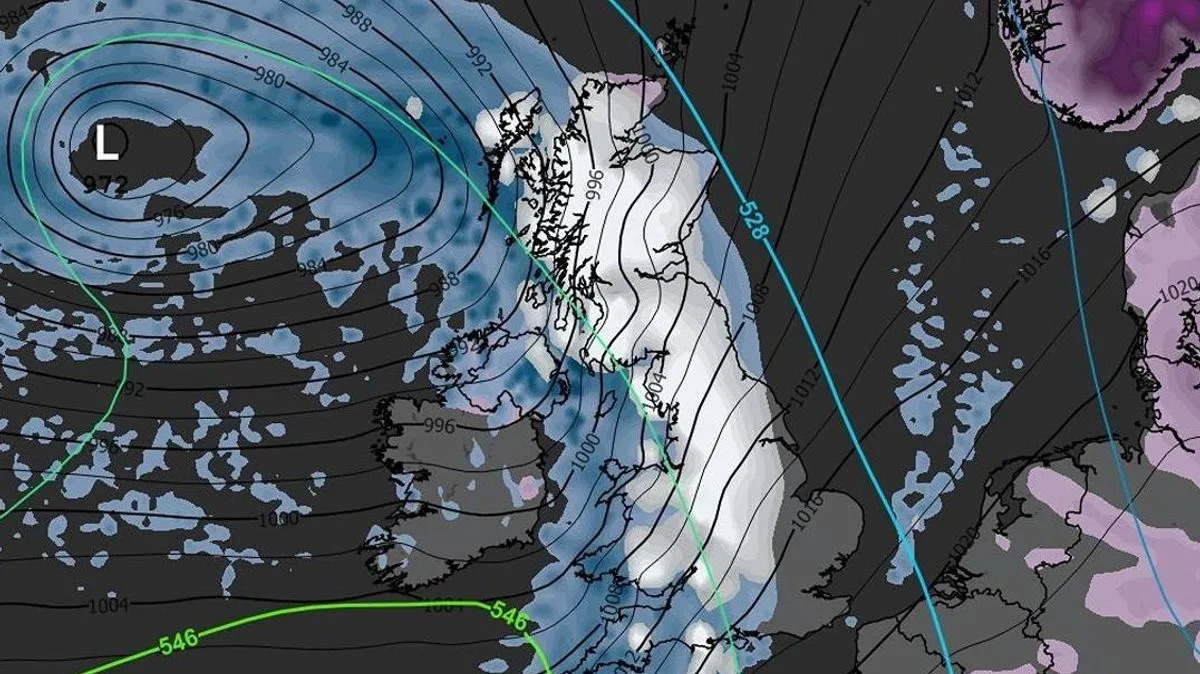
Britain is bracing for a widespread snowfall this weekend, with weather maps indicating that up to 40 cities could be affected. According to data from WXCHARTS and MetDesk, accumulations of up to 14cm are predicted in parts of Scotland, while other regions will see lighter dustings.
The snow is expected to begin on Sunday, sweeping from Cape Wrath in northern Scotland down to Bristol in the South West. The heaviest falls will hit Scotland, particularly Moray and the Highlands where 14cm could accumulate, with neighbouring areas seeing up to 12cm. England will experience milder conditions, averaging just 2cm nationwide, leaving eastern and southern coastal areas largely untouched.
The Met Office's outlook for February 15 to 24 warns of Atlantic low pressure systems bringing rain and showers, with heavy rain likely in western hills. Snow is mainly expected on high ground in the north, with strong winds possible near coasts. Temperatures are forecast to be near normal, with a chance of drier, more settled conditions developing later in the period.




