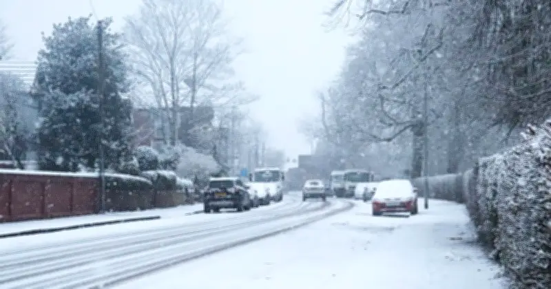
New weather maps suggest snow could hit parts of the UK on four dates before the end of October. Charts from forecaster WXCharts highlight October 24, 26, 28 and 31 as dates to watch, with purple and white patches indicating possible snow across parts of Scotland and northern England.
The maps suggest the risk could develop as the weather becomes more unsettled towards the end of the month. The first chart, valid for 6am on Saturday, October 24, shows patches of wintry precipitation over parts of northern Scotland, including areas around the Highlands and further east. Another area appears close to the Scottish Borders and northern England.
Snow potential in northern areas
Much of England appears largely free of precipitation on this chart, with the more prominent wintry patches concentrated further north. By Monday, October 26, the maps show a broader area of precipitation across Scotland and parts of northern England. Blue shading indicates rain, while lighter and white patches suggest the potential for snow or other wintry precipitation in some locations, particularly over higher ground.
The forecast for Wednesday, October 28, continues to show precipitation across parts of Scotland, with further showers extending into northern Britain. A further chart, valid for Thursday, October 31, shows a more widespread area of precipitation across Scotland and parts of northern England. Purple and white patches again appear in northern areas, suggesting the possibility of snow or wintry precipitation if temperatures are sufficiently low.
Met Office outlook
The charts also show that rain and showers could affect other parts of the UK during this period, while several areas of England appear drier at different points in the forecast. Separately, the Met Office's long-range forecast also points towards a change in conditions during the second half of October, although it does not confirm the specific snow dates.
For the period from Tuesday, October 20, to Thursday, October 29, the forecaster said: “There are growing signs that high pressure, which is likely to still extend across the country at the start of this period, will reduce in its influence through next week.”
It added: “This will allow a more unsettled regime to develop as spells of wet and windy weather arrive from the Atlantic followed by drier though still showery interludes.” The Met Office said there was still a chance that high pressure could return towards the end of October, but added: “It is more likely that a changeable regime will continue once established.”
Conditions into November
Temperatures are expected to fluctuate around average for the time of year, with the forecast saying this could bring “some milder spells, especially in the south”. The Met Office expects changeable conditions to continue into November, with its outlook for Friday, October 30, to Friday, November 13, pointing to weather systems arriving from the Atlantic.
It said: “Weather patterns dominanted by westerly or southwesterly winds from the Atlantic are most likely during November.” The forecaster expects these conditions to bring “occasional spells of wet and windy weather followed by drier but still showery interludes”.