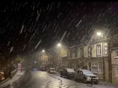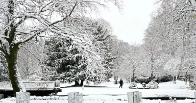
As temperatures drop and weather warnings are issued across the UK, many are wondering whether a white Christmas is on the cards. Knowing how to read the sky for signs of snow could help you prepare for any cold snap.
Snow Expected in Scotland and High Ground
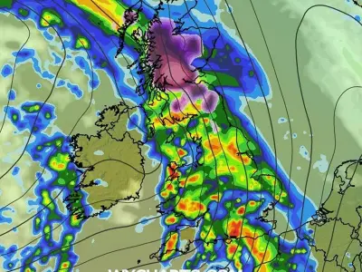
Snow is anticipated across parts of the UK this year, with early-season Arctic air pushing temperatures down to -5°C and bringing brief sleet and snow showers to northern Scotland, Shetland, and Orkney. Longer-range forecasting models and cold snaps suggest the possibility of wintry weather later in November and throughout the winter months.
To gauge precisely when snow might be on its way, look up - some cloud formations pose no risk of snow whatsoever, while others can signal how close wintry precipitation really is.
Which Clouds Mean No Snow
On a cold day with sub-zero temperatures, pay close attention to the shape of any clouds visible in the sky. Should you spot Cumulus clouds - the cotton wool puffs with flat bases - you can breathe easy, as they very rarely produce rain or snow, with the likelihood diminishing further if they appear smaller in size, reports the Express.
The same applies to Stratocumulus, the most common of all cloud types in the UK - identified by a low-lying layer or patch of cloud with a clumpy base that appears to be low in the sky.
Clouds That Signal Snow Is Coming
The genuine prospect of snow emerges if you notice Nimbostratus Clouds, the primary snow cloud. They are thick, dark-grey, featureless blanket clouds that stretch across the entire sky and frequently obscure the sun or moon entirely.
If no nimbostratus can be seen, search instead for Altostratus (or layer clouds), which are mid-level, grey or bluish sheet-like clouds that make the sun look like it is shining through frosted glass. They frequently thicken into nimbostratus and can produce light to moderate rain or snow as a front approaches.
The earliest potential warning arrives with Cirrostratus (another form of layer cloud) - thin, high-altitude ice-crystal clouds that produce a bright white halo or ring around the sun or moon. They frequently indicate that a warm or occluded front is advancing, meaning snow or rain could arrive within 10 to 24 hours.
Finally, Cumulonimbus Clouds are almost certainly a sign of heavy snow or blizzards - or at least very heavy showers. They are towering, vertical, mountain-like storm clouds with flat, anvil-shaped tops, and frequently arrive accompanied by gusty winds or thunder.
Current Forecast for November
For this November, the Met Office cautions that while a cold snap is delivering frost, ice, and brief wintry showers to northern Scotland and high ground this week, disruptive snow is not currently anticipated in most parts of the country.