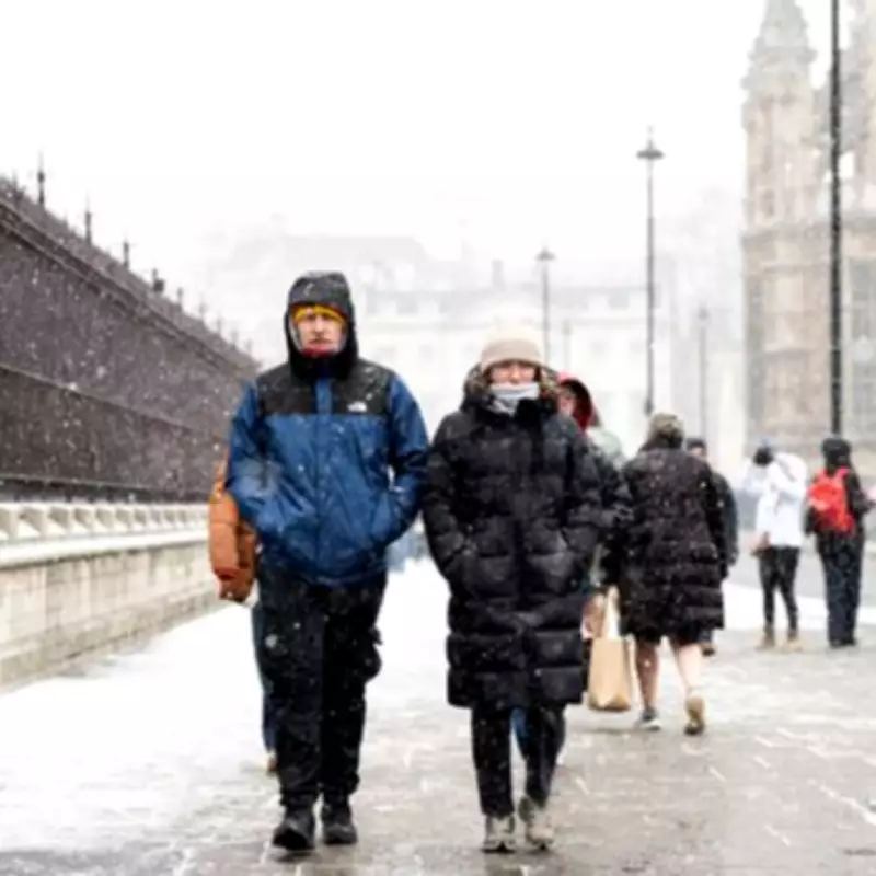
The United Kingdom is bracing for a renewed bout of wintry weather as the Met Office forecasts snow showers for specific regions before the arrival of February. This comes amidst ongoing turbulent conditions, with yellow rain warnings currently in force across several parts of the country.
Targeted Snow Forecast for Weekend
According to the latest meteorological outlook, northwestern and southwestern areas of the UK are most likely to experience snow showers tonight and throughout Saturday, January 31st. The forecaster indicates that while Britain continues to be affected by torrential downpours and gale-force winds, conditions will turn distinctly wintry in these regions as the month concludes.
Active Weather Warnings and Flood Concerns
Yellow rain warnings remain active for Northern Ireland and southwest England, with an additional alert covering southwest England for early next week. This anticipates further rainfall in areas already impacted by flooding, maintaining significant concerns for vulnerable communities.
The National Weather Agency explains that low pressure will continue to dominate throughout the weekend, bringing further spells of rain or showers across much of Britain on Saturday. These are expected to become more scattered on Sunday, with some drier and sunnier intervals developing in places.
Temperature Patterns and Snow Risk
Temperatures are forecast to stay around seasonal norms for most regions, though colder conditions will persist in the far northeast. This maintains the ongoing threat of snow over higher ground in northern areas, adding to the complex weather picture.
Met Office Deputy Chief Forecaster, Dan Holley, detailed the atmospheric drivers behind the current conditions: "We'll continue to see a strong and south-shifted jet stream well into next week, which will steer further low pressure systems close to the UK from the North Atlantic."
He further elaborated: "These will bring further spells of rain at times, accompanied by strengthening winds, with an ongoing risk of flooding in sensitive areas. There will also be some hill snow at times in the north as this wet weather engages with colder air here."
Expert Analysis from Netweather
Meteorologist Nick Finnis from Netweather.tv provided additional insight in his blog analysis: "With low pressure close to the southwest, further rain looks to push in from the south or southwest early next week, reaching most areas, generally rain heaviest and most persistent towards the south and west."
He continued: "Though with a southeasterly or easterly flow in the north picking up moisture off the North Sea, like this week, higher ground of eastern Scotland could again see the largest rainfall totals. Snow rather than rain falling over high ground in the north too, as cold air spreads over the North Sea from the east at times."
The combination of these meteorological factors creates a challenging forecast period, with residents in the identified regions advised to stay updated on official warnings and prepare for potential travel disruptions and hazardous conditions.


