Heatwave Collapse Forecast for Saturday June 27
Weather maps have pinpointed Saturday June 27 as the exact date the UK's blistering heatwave will finally break, according to forecasters. Temperatures that could reach 38C in some regions will come crashing down as a major shift in the atmospheric high-pressure system occurs.
The dramatic collapse will be driven by an aggressive weather system moving in from the Atlantic. This incoming cold front is set to clash violently with the trapped, baking air mass currently sitting directly over the British Isles.
Severe Storms and Flash Flooding Risk
Fresh weather maps show that the transition will be anything but peaceful. As the cooler air displaces the heat, a band of heavy rain and severe thunderstorms will sweep across the country, presenting a sudden risk of localised flash flooding.

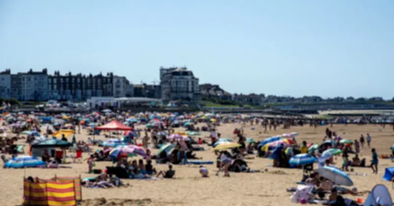
Meteorologists have warned that the intense heat has put public infrastructure under strain, with urgent health warnings issued across the nation. The sudden change in weather could bring relief but also hazards.
Temperatures to Plunge to Seasonal Averages
Once the front successfully clears out the tropical air, conditions will stabilise dramatically. Forecasters show that temperatures will plunge back to average for the time of year, introducing a much fresher feel with clearer skies replacing the oppressive, humid haze.
Households in England and Wales have been urged to fill freezers before Wednesday as a precaution amid the extreme heat and potential disruptions.