
After a week of unseasonably warm weather, the United Kingdom is poised for a dramatic meteorological reversal, with forecasts predicting a 500-mile wall of blizzards set to envelop the nation. Temperatures soared above 17C recently, but a swift and severe cold snap is expected to bring snowfall as far south as the Midlands by mid-March.
Stark Contrast in Weather Patterns
This week, the UK basked in balmy conditions, with the mercury hitting 17.8C in Porthmadog, northwest Wales, and 17.6C in Wiggonholt, West Sussex, according to the Met Office. However, a low-pressure system is forecast to sweep across the country, causing temperatures to plummet dramatically. Weather maps illustrate a stark contrast, showing large swathes of the UK blanketed in white hues indicative of impending snowfall.
Snowfall Forecast and Affected Regions
The heaviest snow dumpings are anticipated in specific areas, including Perth and Kinross, Stirling, and East Ayrshire in Scotland, as well as Cumbria and County Durham in England. Flurries are also expected across the Midlands, parts of Wales, and other regions. The map for Monday, March 16, reveals a white hue stretching approximately 500 miles from rural Cumbria in the Northwest of England to Caithness at the northern tip of Scotland.

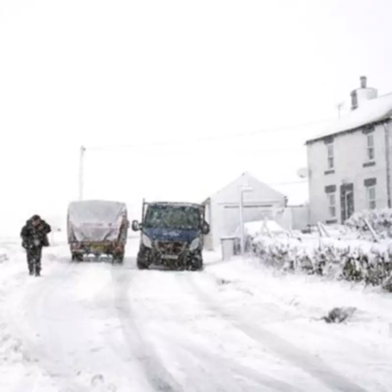
Potential Impacts and Disruptions
This big freeze is likely to cause significant travel disruption, pose risks on roads and pavements due to icy conditions, and potentially lead to power cuts. While the Met Office often issues weather warnings in such scenarios, it is typically too early for official alerts at this stage. Nonetheless, the agency's long-range forecast indicates unsettled conditions becoming more widespread towards the middle of March, with temperatures dropping sharply.
Temperature Plunge and Wind Conditions
Early indications suggest lows could reach -8C across the Scottish Highlands and -5C in Dumfries and Galloway. Accompanying this cold snap will be strong westerly winds, particularly along the northwest coasts of both England and Scotland, exacerbating the blizzard conditions.
Broader Weather Outlook
The BBC forecast for March 9 to 15 predicts that Atlantic systems will become more active, bringing occasional rain and brisk winds, primarily targeting northern and western areas. Frontal systems may struggle to cross southern and eastern regions due to the influence of European high pressure, leading to near to below-average precipitation in the south and east, while northern and western areas, especially Northern Ireland and western Scotland, experience wetter than normal conditions.
Overall, mild conditions are expected from south-east to south-westerly flows, with temperatures above the March average. However, transient high-pressure ridges between frontal systems could result in chilly nights with potential frost or fog. This complex weather pattern underscores the sudden shift from warmth to wintery blizzards, highlighting the unpredictable nature of UK climate as the nation prepares for a significant cold spell.


