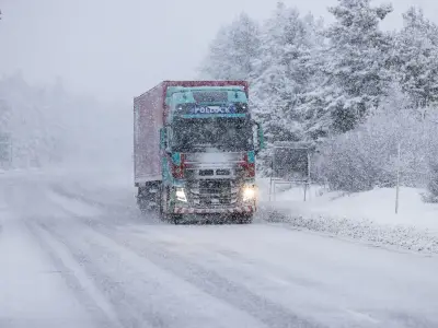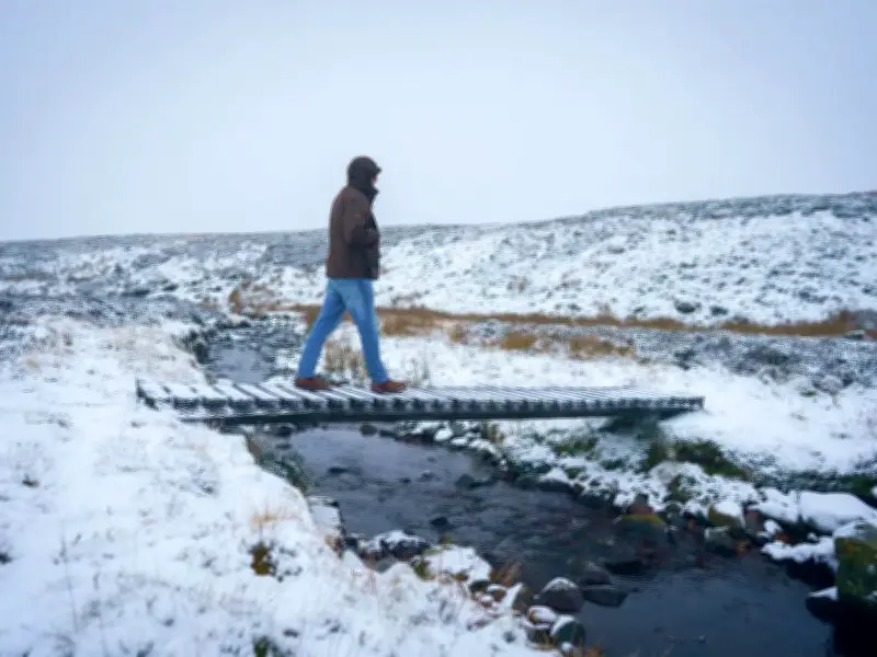
The UK is bracing for a 1,000-mile wide 'Arctic attack' that will bring snow and a 10-day polar chill, with forecasters warning of icy conditions and the odds of a white Christmas being slashed.
After a bone-chilling weekend, snow is expected tomorrow in northern England and on high ground. The country faces highs of 6-8C for 10 days, which is 4C colder than average, with wind chill making it feel even more bitter.
Forecasters Warn of Raw Easterly Flow
Frosts are due in the north, with sub-zero nights and more December shivers ahead. Netweather forecaster Nick Finnis said: "It's looking chillier than previously forecast for the next week, with a raw easterly flow shown on forecast models and daytime temperatures in low single figures later in the week."
BBC Weather said: "Temperatures low enough for sleet and sleet or snow over the hills of Northern England and Scotland during Tuesday and into Wednesday. More wintry showers on chillier days later in the week are possible."
Cold Health Warnings and Record Lows
A Met Office forecaster said: "It will often be rather cold in northern areas which could allow precipitation to fall as snow at times, mainly over hills. The South will be milder, but colder conditions cannot be ruled out. From December 5 to 19, the north will be colder than normal with the South near normal, although either bias could extend to cover a wider area of the UK."
Earlier this week, the UK's Health Security Agency issued cold health warnings across northern England lasting until Monday morning. Temperatures could tumble to -5C in England later, stretching from the Midlands northwards. In rural Scotland, -10C is on the cards, while southern regions will be bitterly cold with -1C anticipated.
Temperature Plunge and Driving Danger
Autumn's coldest night to date was Thursday evening, when -8.4C was logged at Tulloch Bridge, Highland, but that record looks set to be shattered tonight. November's coldest night on record occurred in 1912, when -16.1C was registered in Cumbria. Temperature anomaly charts for the small hours of Saturday morning depict the UK shaded in zones of deep blue and purple, signifying where temperatures are forecast to plunge considerably beneath the average for this period of the year.
Met Office meteorologist Clare Nasir said: "It will turn a lot colder as we head through into the weekend. Through this evening and overnight any residual spits and spots of rain will tend to clear as we see starry skies evolve and that frost extends southwards through the night. And further south yes, we're expecting some sub-zero temperatures. A cold end tonight, even some freeze and fog patches, particularly across central, southern areas and in Northern Ireland."