
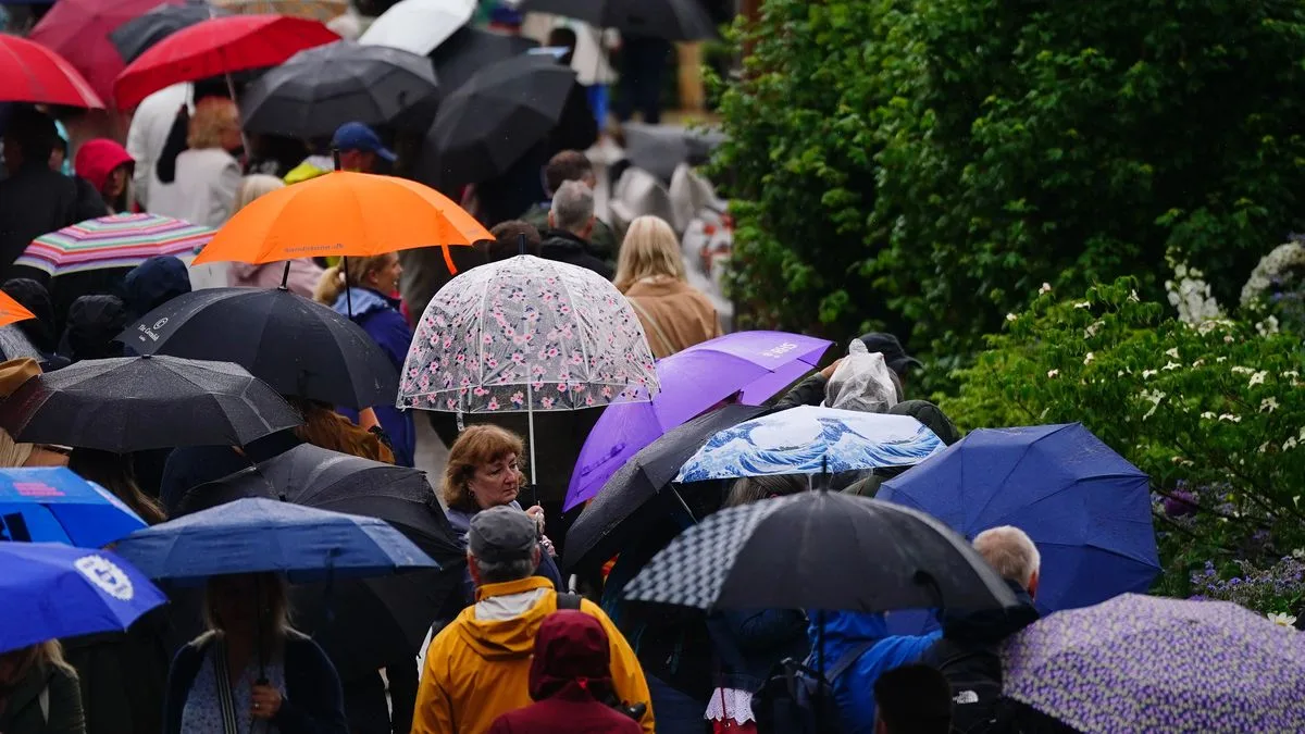
The Met Office has warned that the 'worst is yet to come' as parts of the UK experience up to a month's rainfall in 24 hours. A 24-hour amber warning for rain has been in place across parts of North Wales and north-west England, including Manchester and Liverpool, since midday on Wednesday.
A yellow warning for rain covers the north of England, the Midlands and north and central Wales until 6am on Thursday, while another is also in place for southern and eastern Scotland until 6pm tomorrow. Much of the south coast is likely to see lightning, with a yellow warning for thunderstorms in place until 7pm on Wednesday.
Tom Morgan, a meteorologist at the Met Office, told the PA news agency that there was a lot of rainfall overnight in the north-west and southern Scotland, as well as in areas such as the Midlands, East Anglia and the Home Counties. 'The wettest area was Drayton Parslow in Buckinghamshire which saw 68.8mm in the last 24 hours. That's almost a month's rainfall in one day,' he said.
Jonathan Day, flood duty manager at the Environment Agency, said: 'Heavy and persistent rain means significant inland flooding is probable in parts of the North West of England and possible more widely today and into tomorrow.' He urged people to stay away from swollen rivers and not to drive through flood water, noting that just 30cm of flowing water is enough to float a car.
Conditions are expected to improve as the low pressure responsible for the wet weather begins to ease off. The Met Office's Mr Morgan said the bank holiday weekend will likely see a mix of sunshine and showers, with temperatures expected to be back up to the low 20s.




