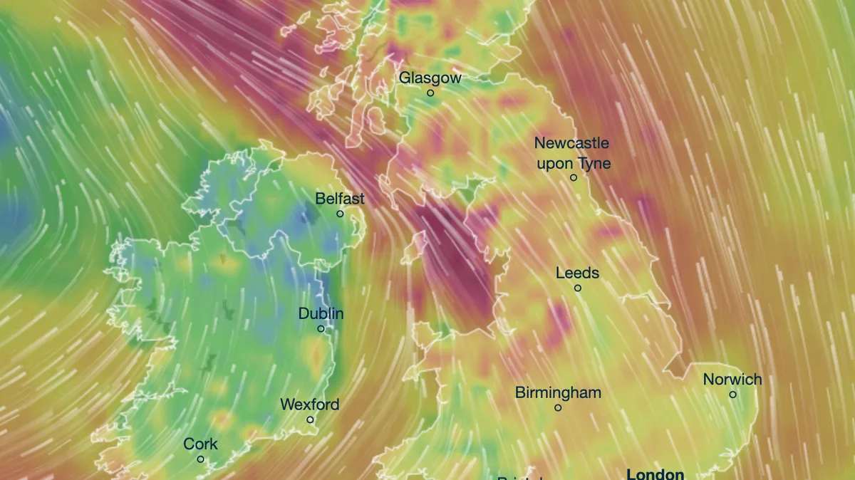
The UK is set to be hit by a fierce storm on Friday, with weather maps showing red hues indicating gale-force winds of up to 75mph. The worst conditions are expected across Wales, northwest England, and parts of Scotland as a low pressure system moves in from the west.
Gale speeds of 75mph are forecast along Scotland's west coast and parts of the Lancashire coast by 6pm on Friday, with strong winds continuing inland across Cumbria and Northumberland into the early hours of Saturday. Snow is expected on higher ground in the Lake District, Northumberland, and County Durham, with heavier snowfall in the Scottish Highlands.
Most of the UK will see rain, particularly across Lancashire and Cumbria, with up to 16mm falling in parts of Aberdeenshire and East Lothian overnight Friday. The strong winds will make it feel as cold as -7C, despite air temperatures being warmer, especially in northern England and Scotland.

Showers are expected to persist on Saturday, raising concerns about flooding. Dozens of flood warnings and alerts are in place, mostly across the Midlands, which will endure rainfall throughout Friday. Netweather forecasters noted that Saturday will be particularly active with a rash of showers.
Sunday may bring further rain, especially in the Midlands, with the Met Office predicting early fog, then bright and breezy conditions later. The storm marks a stark contrast to Tuesday's mild weather, when temperatures reached 12C in parts of southern England.