
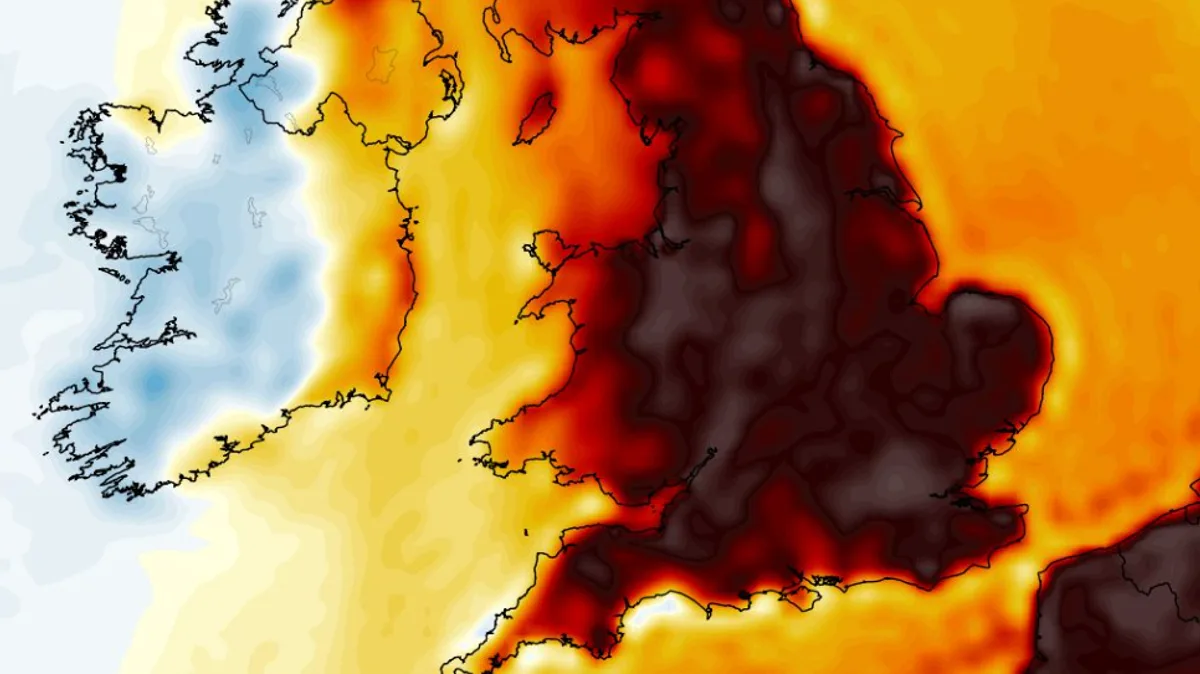
Advanced weather modelling indicates that temperatures in the UK could rise to 32°C within days, with as many as 21 counties expected to reach 30°C or higher. The European Centre for Medium-Range Weather Forecasts (ECMWF) model shows a significant warm-up beginning around June 15.
On June 15, highs of 29°C are possible in the south-east, while the north-west could see 28°C and central Scotland may reach 24°C. The following day, June 16, maps suggest a surge to 32°C in the south-east of England, with 29–30°C in the north, and 31°C possible in the east of England and South Yorkshire.
Temperature anomaly maps for June 16 show deep red across England, Wales and southern Scotland, indicating temperatures well above the seasonal average. The 21 counties expected to hit 30°C or more are all in England, though the data does not yet signal an official heatwave, which requires three consecutive days above thresholds varying from 25°C to 28°C by county.
The Met Office's outlook for June 7 to 16 suggests high pressure and more settled conditions towards mid-month, especially in the south. For the rest of June, temperatures are forecast to be above normal, with potential for hot spells in the south, but also heavy showers and thunderstorms.




