
January was the wettest month on record for southern and central England, according to data from the Radcliffe Meteorological Station at Oxford University, the world's longest-running weather station. Rainfall reached 146.9mm, three times the average for the month and surpassing the previous record of 138.7mm set in 1852.
The Met Office confirmed that the region from Devon to Kent and into the Midlands experienced its wettest January since records began in 1910. Ian Ashpole, the Radcliffe Meteorological Observer, noted that the station's records extend back to 1767, providing a longer perspective on climate trends.
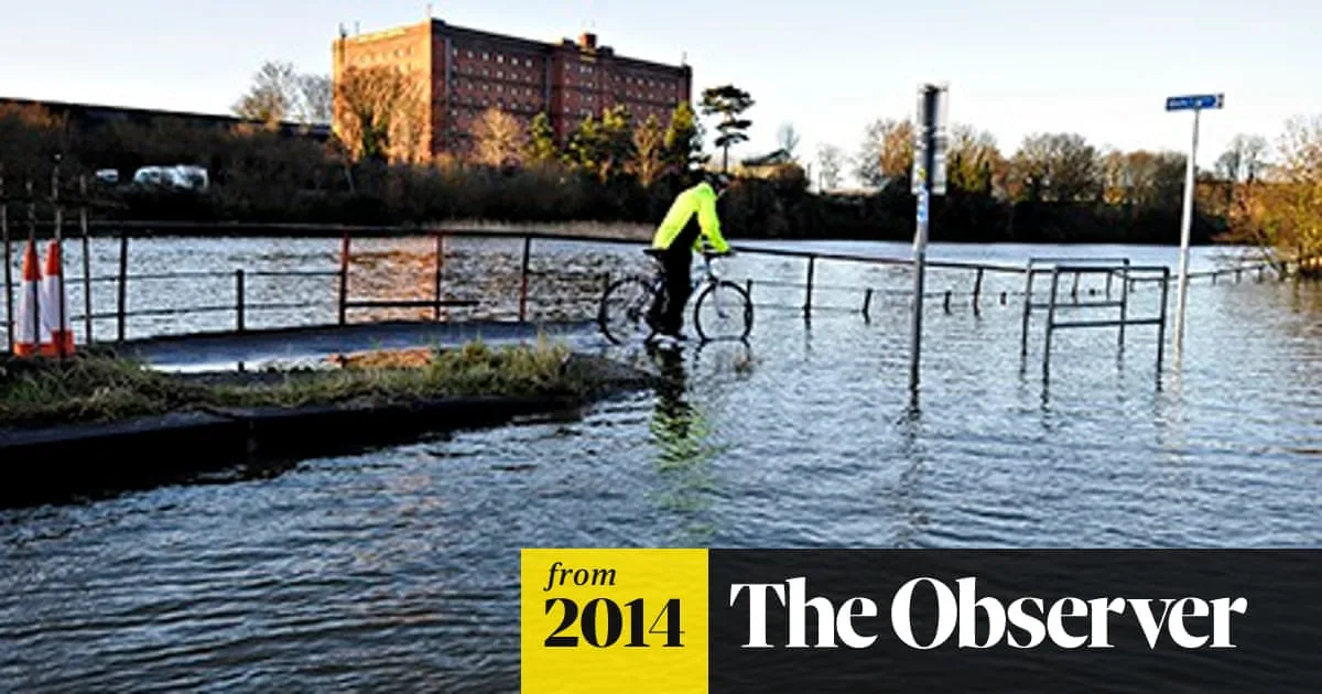
The heavy rainfall has caused widespread flooding, with thousands of homes affected since December and large areas of the Somerset Levels still underwater. Scientists warn that flooding is the most dangerous impact of climate change for the UK and is occurring faster than anticipated.

The 45-day period from 18 December saw 231.28mm of rain, the highest for any such period in the observatory's history, beating the previous record of 209.4mm set in 1914. Met Office forecaster Callum MacColl said the unsettled weather is expected to continue, with more Atlantic storms forecast.
Andrew Barrett, a storm expert at the University of Reading, described a 'storm factory' over the Atlantic caused by cold polar air meeting warm tropical air, steered towards the UK by a strong jet stream. Scientists are investigating whether Arctic ice melt from global warming is pushing the jet stream further south, increasing storm frequency.
On Saturday, the Environment Agency issued five severe flood warnings indicating danger to life in parts of the south-west and Midlands, along with 156 standard flood warnings. The Met Office also warned of severe weather along the entire west coast of England and Wales, with strong winds and large waves expected.


