
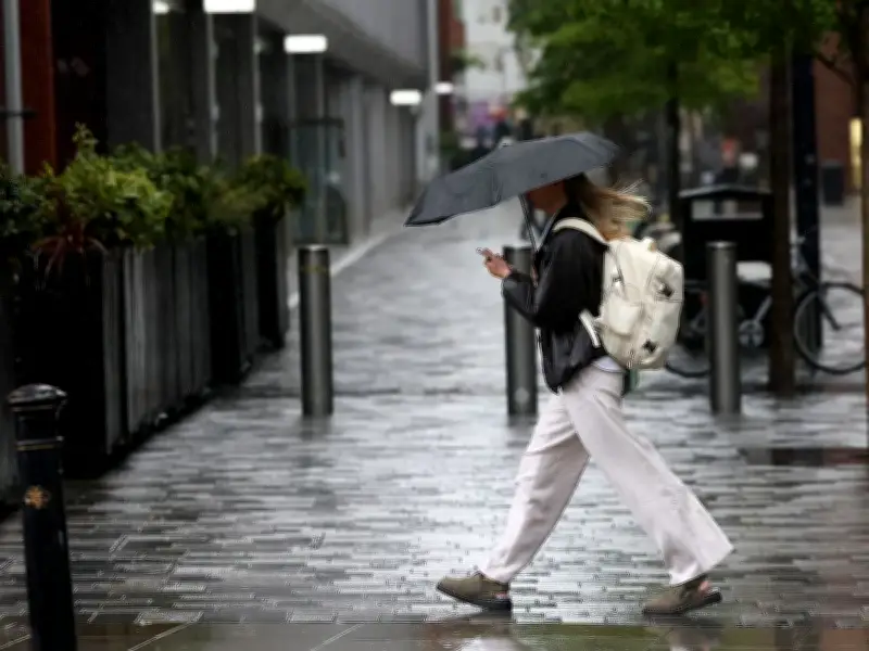
Greater Manchester is expected to see some long-awaited rainfall this weekend as the UK's fifth heatwave of the year finally begins to ease. The Met Office has forecast a 'noticeable drop' in temperatures, bringing cooler weather and potential rain to much of the country.
The UK recorded its hottest day of the year so far on Thursday, with a top temperature of 38.1C in London. However, the Met Office predicts a noticeable drop this weekend, offering some relief from the heat.
Weekend weather outlook
Saturday will start with a small chance of showery rain across the far southeast of England, but showers are expected to be scattered and short-lived, clearing eastwards during the morning. Elsewhere, many areas will enjoy a fine day with sunny spells. Temperatures are expected to reach the mid-20s across central parts of the UK, with northern areas more likely to see temperatures in the lower 20s. Across the far south and east, temperatures could still reach the high 20s.
On Sunday, an approaching weather front will bring more cloud to northwestern areas, according to the Met Office. The greatest chance of rain will be across western and northern Scotland, while parts of northern England may also see a few outbreaks of rain.
Rain in Greater Manchester
For those hoping for significant rain, the weekend could be a disappointment. Weather maps show minimal rain falling across the north west region on Saturday and Sunday. The highest likelihood of rain in Greater Manchester will be on Sunday, with the North West having "a rather cloudy start, with some light rain and drizzle". Conditions will brighten up for the afternoon, with a mixture of sunny spells and showers and a maximum temperature of 20C.
Sunday evening could bring some scattered showers to parts of Greater Manchester and the surrounding area from around 7pm, according to weather maps. More widespread rain could be arriving on Monday evening, with maps currently showing a band of rain covering Greater Manchester and much of the north of England at around 10pm.
Drought and wildfires
Rainfall since late June has been well below average across many areas, particularly in England and Wales. Nearly three-quarters of England and the whole of Wales are in drought, which is heaping pressure on water resources for households, agriculture and the environment. The Met Office said that even where isolated showers occur over the next few days, they are unlikely to provide the prolonged rainfall needed to significantly improve ground conditions.
On Friday, prime minister Andy Burnham scrambled to respond after a number of wildfires broke out in the UK during the latest heatwave. He has called in the military, announced a ban on disposable barbecues and warned smokers not to risk setting light to "tinderbox" Britain.
On a visit to Stourbridge, where nineteen houses have been 'fully destroyed' by fires, Mr Burnham told broadcasters: "I’ve never seen scenes like this in Britain, where you just see a whole house gutted, smouldering." He said 100 military personnel had been deployed to a blaze in South Wales to offer "critically needed" support and there are "37 fires smouldering around the country" right now. He said experts had warned the UK could face a wet autumn and winter because of the El Nino effect "so, after fire could come floods".




