
Major Winter Storm Set to Blanket Half of US with Snow, Ice and Record Cold
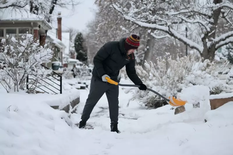
A powerful winter storm system is poised to sweep across a vast portion of the United States this weekend, bringing with it the threat of potentially record-breaking cold temperatures, heavy snowfall, and significant ice accumulations. Forecasters are warning that the severe conditions could lead to hazardous travel, potential power outages, and widespread disruptions.
Storm Path and Expected Impacts
According to the US National Weather Service, the storm is expected to bring widespread heavy snow, sleet, and freezing rain starting on Friday. The system will initially impact the southern Rockies and plains, moving into the mid-south before spreading eastward to the mid-Atlantic and New England regions over the weekend. Impacts in New England may persist into Monday.
The agency forecasts heavy snow across a broad region stretching from the southern Rockies and plains through the mid-Atlantic and into the north-east. In some localised areas, snowfall totals are likely to exceed 12 inches. Furthermore, widespread freezing rain and sleet are anticipated for parts of the southern plains, lower Mississippi Valley, Tennessee Valley, the south-east, and southern Virginia.

Significant Hazards and Official Warnings
Weather officials have highlighted the risk of significant and damaging ice accumulations, which could result in power outages, tree damage, and extremely dangerous travel conditions. The freezing rain and sleet are expected to begin in the southern plains and lower Mississippi Valley on Friday before shifting eastward into parts of the south-east, Tennessee Valley, and mid-Atlantic over the weekend.
Extremely cold air following the storm is predicted to prolong hazardous conditions, affecting travel and infrastructure. Officials are also warning of bitterly cold temperatures and dangerously cold wind chills spreading across the central and eastern US by the end of the week. These wind chills could pose a life-threatening risk of hypothermia and frostbite to exposed skin.
Regional Forecasts and Preparations
In New York, the winter storm is likely to arrive on Saturday, with snow possibly beginning on Saturday night. The heaviest snowfall is expected from Sunday into Sunday evening, with parts of the New York region forecast to receive between eight and 16 inches of snow.
As of Thursday morning, the National Weather Service had issued winter storm watches for numerous states, including Louisiana, Maryland, Texas, Mississippi, Arkansas, Kentucky, Ohio, Virginia, West Virginia, Oklahoma, South Carolina, Georgia, Tennessee, Missouri, North Carolina, Pennsylvania, Indiana, New Mexico, Kansas, Illinois, and New York. Winter storm warnings, indicating heavy snow is expected, have been issued for parts of New York, Oklahoma, Arkansas, and Texas starting Friday.
In preparation, several governors have declared states of emergency or states of preparedness. These include South Carolina's Henry McMaster, Georgia's Brian Kemp, Texas's Greg Abbott, North Carolina's Josh Stein, West Virginia's Patrick Morrisey, and Maryland's Wes Moore. These declarations activate state emergency response resources to manage the anticipated impacts.
Alex Lamers, a meteorologist with the Weather Prediction Center, noted that a storm of this magnitude is not something you see every winter. He added that the upcoming system is likely to affect about half the US population with accumulating ice, sleet, or snow, underscoring the widespread nature of this significant weather event.


