
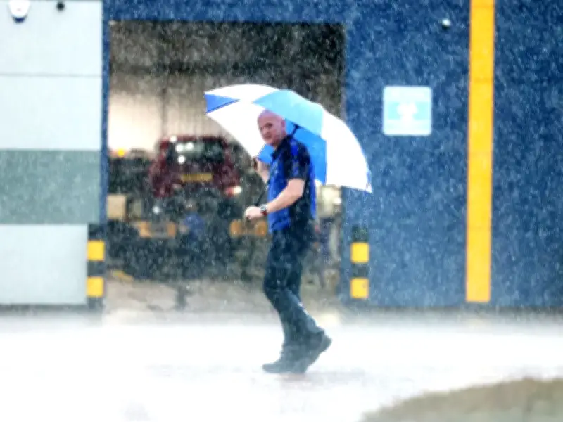
After repeated record-setting heatwaves this summer, many across the region are grateful to see the return of the typical British summer this week. As temperatures ease into the teens once more across the North East, we see more rain after prolonged dry weather.
Some areas in South England entered drought status, with wildfires raging across the West Midlands. In the North East, the lack of rain has turned lawns yellow.
This week's forecast
The forecast for this week is decidedly milder than last week. Heavy rain will continue through Monday, returning on Wednesday and Thursday. To find out the whole week forecast, see our breakdown below:
Monday, 17 August - Overcast conditions persist throughout the day with a high of 18°C and a low of 15°C. Rain chances begin to rise slightly in the late afternoon, but the primary downpour arrives in the evening. Light rain develops between 6 PM and 7 PM with an 80% chance, then transitions to persistent heavy rain with over a 95% chance from 8 PM through 11 PM.
Tuesday, 18 August - The heavy rain clears overnight, with light rain lingering until around midnight before skies dry out by 2 AM. Daytime conditions reach a mild 19°C before dropping to 13°C overnight, featuring sunny intervals for most of the day. There is a minor 30% chance of isolated light showers during the mid-afternoon, between 3 PM and 6 PM.
Wednesday, 19 August - A dry, bright morning with sunny intervals gives way to a damper afternoon as cloud cover thickens. The daytime high reaches 19°C with a nighttime low of 13°C. Rain probability rises to 50% by midday, with light showers expected at 60% to 70% from 1 PM through late evening.
Thursday, 20 August - A cooler day is in store, bringing daytime high temperatures down to 16°C and overnight lows to 11°C. Light showers continue through the morning and early afternoon with a 50% to 60% chance of precipitation up until 2 PM. The shower activity eases by mid-afternoon, allowing sunny intervals to return by the evening.
Friday, 21 August - Temperatures remain cool, peaking at 15°C and dipping to 9°C overnight. Sunny intervals alternate with cloud cover throughout the day. Scattered light showers bring a moderate 40%-50% chance of rain between 8 AM and 3 PM, followed by a dry evening with a low risk of precipitation.
Saturday, 22 August - The weekend brings much drier, more settled weather with a high of 17°C and an overnight low of 10°C. Sky conditions will consist of sunny intervals with virtually no chance of rain, staying well below 5% throughout the day and night.
Sunday, 23 August - Pleasant late-summer conditions continue into Sunday, with a high of 18°C and a low of 10°C. The day remains predominantly dry with sunny intervals, keeping the chance of precipitation under 10%.
Impact of the dry weather
However, the return of rain might not be good news for some. The dry weather has made the ground hard, and therefore makes it harder to absorb water.
This is explained further by Mike Silverstone, the Met Office's deputy chief forecaster. He said: "Many areas in England and Wales are desperate for rain, this week some of these areas will see the first meaningful rain for a long time."
"Thursday will be a day of heavy showers across much of the UK, while some of these will be heavy, some areas will miss them altogether.
"As some of these showers could be intense, there is a chance of some surface water flooding as the rain falls on very dry and hard ground."




