
The Met Office has raised the alarm as Britain braces for a weekend of extreme weather, with violent thunderstorms expected to unleash chaos across parts of the country.
Severe Weather Warning Issued
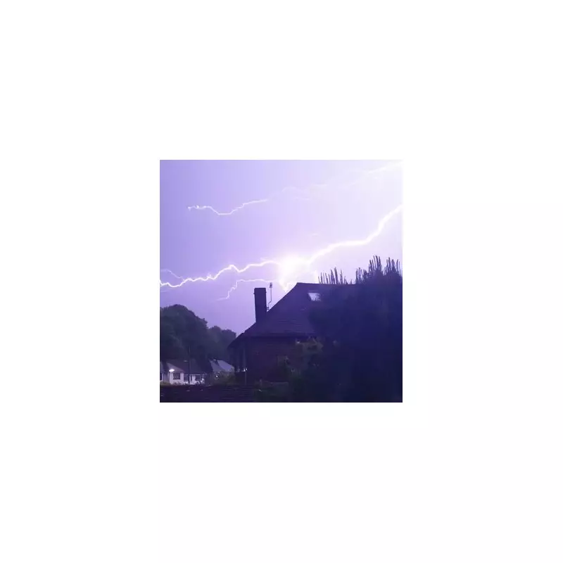
Meteorologists have pinpointed exactly when and where the worst of the storms will strike, warning of torrential downpours, frequent lightning, and potential flash flooding.
Areas at Highest Risk
The weather service has placed yellow and amber warnings across several regions, with particular concern for:

- Southern England
- The Midlands
- Parts of Wales
These areas could see rainfall totals of 30-50mm in just a few hours, with some locations potentially receiving up to 80mm.
Timeline of the Storms
The violent weather is expected to develop as follows:
- Friday evening: Initial thunderstorms form in the southwest
- Overnight: Storms spread northeast across England and Wales
- Saturday daytime: Most intense activity expected
- Sunday: Conditions gradually improving
Travel disruption is highly likely, with roads potentially becoming impassable and train services facing delays. The public is being urged to check forecasts before making weekend plans.
Potential Impacts
The Met Office has warned of several possible consequences:
- Sudden flooding of homes and businesses
- Dangerous driving conditions
- Power cuts from lightning strikes
- Damage to buildings from severe gusts
Emergency services are preparing for a busy weekend, with additional staff being put on standby in the worst-affected regions.
Expert Advice
Meteorologists recommend:
- Avoiding travel during the heaviest downpours
- Preparing for possible power outages
- Securing loose outdoor items
- Staying away from floodwaters
The weather service will continue to update warnings as the situation develops, with the potential for some alerts to be upgraded to the more serious amber level.


