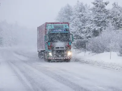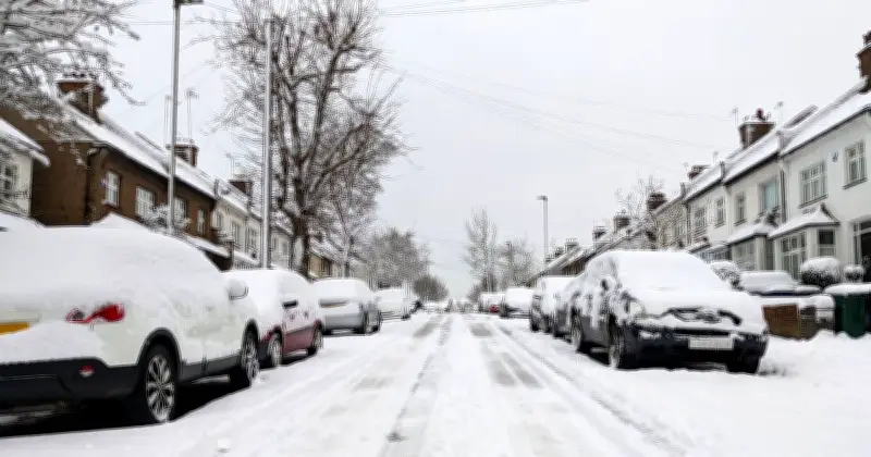
The Met Office has confirmed that more snow could fall in the UK next week, with some precipitation possibly turning to snow on high ground in the north later in the week.
Forecasts from the weather experts have suggested that parts of the UK could see heavy rain on Sunday, November 22, with a yellow weather warning in place for Devon and Cornwall in particular.
Forecast update for next week
In a fresh forecast update, the Met Office said the UK's outlook depends on the 'meteorological details closer to the time'.
The Met Office said on Sunday: "From Monday, next week’s weather is likely to come down to a battle between Atlantic systems from the west and higher pressure to the east. This could mean slow-moving areas of possibly heavy rain to western areas at times during the first half of the week, with areas further east more likely to stay drier.
"There’s a chance of some of this precipitation falling as snow in high ground in the north later in the week, though much will depend on the meteorological details closer to the time."
Polar vortex influence
The update comes after forecasts suggested a weakening polar vortex could bring snow and cold conditions to the UK later this month. This current bout of cold weather is not related to the polar vortex phenomenon, a clutch of Arctic air swirling around the North Pole that could be pushed towards the UK.
However, forecasts from the Met Office have cautioned that an early cold snap could come by the end of November if the stratospheric warming continues to weaken the vortex, spilling cold air across the UK.
Longer range outlook
In its longer range forecast, the Met Office added: "Through the rest of November and into early December, the UK will remain under the competing influence of high pressure extending across the country from the northeast and Atlantic weather systems attempting to arrive from the west or southwest at times. Western and southwestern parts of the UK are likely to see the most frequent and heaviest spells of rain.
"Conditions in the north and east are likely to be drier though still with some rain at times. This pattern means temperatures will often be below average with any milder interludes most probable in the southwest. Snow is also likely at times across parts of the UK, most likely over northern hills but there is a greater chance than normal for snow to lower levels in some places."