
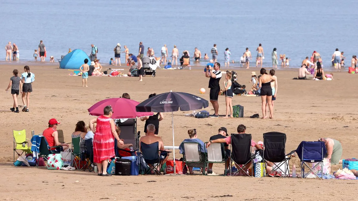
The Met Office has confirmed that the UK's record-breaking September heatwave, which saw temperatures peak at 32.7°C yesterday, will come to an end from Monday. Health warnings remain in place until the end of today, but cooler, fresher conditions are expected to move in from the northwest.
According to the Met Office forecast for September 11 to 20, a cold front will erratically move southeast across all parts of the UK, introducing more changeable weather and returning temperatures closer to normal. The south-east may still see lingering warmth and humidity at the start of the period.
Today marks the seventh consecutive day of 30°C heat in September, an unprecedented event. Weather maps indicate that from Monday, temperatures will gradually drop into the 20s, with even the south-east falling to the teens by next weekend.
The heatwave has already broken the record for the most consecutive days above 30°C in September. Saharan dust has created vivid sunsets and sunrises. Met Office meteorologist Tom Morgan described the prolonged heat as 'unprecedented' for September.
Thunderstorm warnings are in place for Northern Ireland, northern England, Wales, and parts of Scotland until tonight, with a further warning for southern Scotland from midnight until 6am Monday. These could bring flash flooding, lightning, hail, or strong winds, potentially disrupting travel and causing power cuts.




