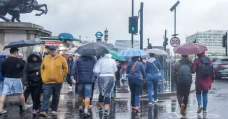
Heavy rain is set to sweep across much of the UK on Tuesday, with the Met Office naming 45 areas that could be affected as weather maps turn blue. The unsettled conditions are expected to begin moving across the country from around 8am, hitting parts of Scotland first before gradually spreading southwards as the day progresses.
Forecast Details for Tuesday and the Week Ahead
The Met Office's weekly forecast states: "Through Monday showers in southwestern England and southern Wales will clear westwards, with further showers moving northwards across northern England and into southern Scotland. Elsewhere there will be sunny spells and predominately dry conditions."
"Overnight and into Tuesday, rain will move northwards across a large portion of the UK. Northern Ireland and the Southwest of England will have a brighter and drier day. Another front will move in from the west by evening, bringing further rain which will be heavy at times. This will slowly clear eastwards across the UK through Wednesday."
Areas Affected by Rain
The Met Office has listed 45 areas across England and Scotland that are expected to experience rain on Tuesday. The affected regions include:
- England: Northumberland, Cumbria, Durham, Lancashire, West Yorkshire, Greater Manchester, South Yorkshire, North Yorkshire, East Yorkshire, Cheshire, Derbyshire, Merseyside, Shropshire, Herefordshire, Gloucestershire, Oxfordshire, Wiltshire, Somerset, Devon, Cornwall, Dorset, Isle of Wight, Hampshire, Berkshire, Surrey, London, West Sussex, East Sussex, Kent, Essex, Suffolk.
- Scotland: Highland, Argyll & Bute, Stirling, Perth & Kinross, West Dunbartonshire, Inverclyde, Renfrewshire, Clackmannanshire, North Lanarkshire, Glasgow city, Dumfries and Galloway, East Ayrshire, Falkirk, Edinburgh.
Related Weather Warning for Friday
In addition to the rain forecast, the Met Office has issued a 12-hour yellow weather warning for wind covering large parts of southern England and Wales on Friday. The warning, in place from midnight until 12pm, highlights the potential for 50-60mph gusts, possibly reaching 70mph in exposed coastal locations.
Met Office Deputy Chief Forecaster Tom Crabtree said: "An area of the forecast we're particularly focusing on is the development of a potentially deep area of low pressure that could cross the UK overnight on Thursday and through Friday."
He added: "It has the potential to bring some strong winds, though the location of the strongest winds will be determined by the low position. At this stage, people should keep an eye on the forecast and be prepared for some unsettled weather at the end of the week."