
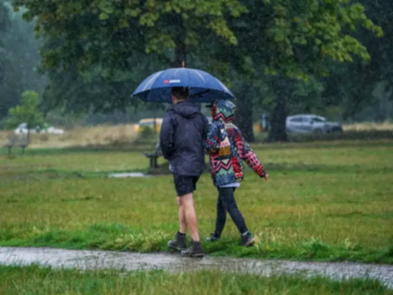
Multiple parts of the UK face heavy downpours on Tuesday, with Met Office maps showing a band of rain moving south down the country. A low pressure system sitting to the northwest of the British Isles will bring the heavy rain to the Highlands of Scotland at first before the bad weather moves through northern England at around 1am.
Rain Spreads South and East
The rain then moves into Wales later in the morning, according to the maps, and down the western side of the country in a band which stretches across the UK to Lincolnshire in the east. There could be up to 30mm of rain falling an hour when the rain is at its heaviest in Cumbria early on Tuesday morning.
The wet weather is forecast as the UK cools after it was scorched by a fifth heatwave of the year. It had its hottest day of the year on Thursday with temperatures hitting 38.1C at Kew Gardens in London.
Southern Drought Areas Miss Out
But the rain is unfortunately unlikely to come as far south as many of the areas that have been worst affected by wildfires and drought, the Met Office maps show, and won't be enough to make up for the dry spell.
Forecaster Honor Criswick said: "There is some rain in the forecast but a lot of that continues to be focused towards the northwest, low pressure drifting in towards the south of Iceland. Eventually frontal systems do start to push their way south and eastwards but they are rather weak features so we will see some spots of rain across some of the south but small amounts and certainly not enough to make too much of a difference compared to the dry summer we’ve had so far."
Week Ahead and Longer Outlook
A Met Office forecast for the start of next week tells of the rain and temperatures which are closer to normal for the time of year. It reads: "Rain moving across Scotland and Northern Ireland through Monday, perhaps reaching southern areas overnight. This clearing to sunny spells and scattered showers Tuesday and Wednesday. Temperatures largely near average."
Looking further ahead, the outlook appears unsettled for the end of August with more rain on the horizon. A forecast from the national weather agency for August 20-29 reads: "The first few days of this period are likely to be rather changeable, with many parts of the UK seeing showers or perhaps some longer spells of rain. Thereafter, high pressure becomes increasingly probable over the north and west, with low pressure to the south of the UK. This will lead to further spells of showers and longer spells of rain, but the north may see more in the way of drier conditions."
"Within this broad pattern, there is potential for Atlantic lows to spread across the UK at times, which would bring more widespread rain and perhaps strong winds. Temperatures are more likely to be above normal than below overall, though the possibility of widespread or exceptional heat is perhaps a little lower than in recent weeks."




