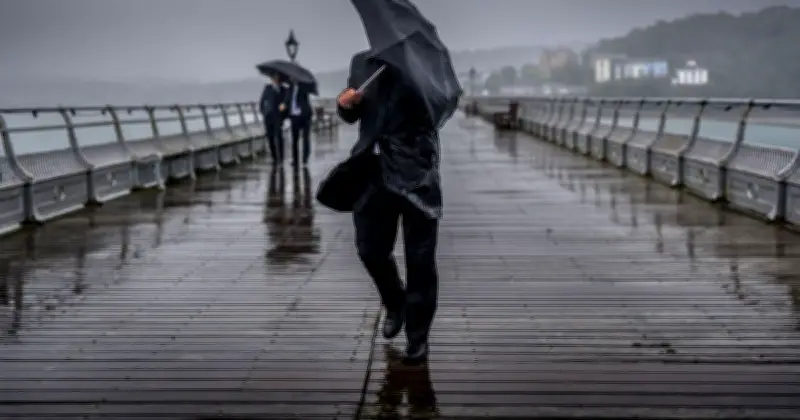
New weather maps from the Met Office have revealed when the UK is in for downpours as rain hits 18 areas of the country. Next Tuesday (August 25) is forecast to be a damp one for the Midlands and South-west England in particular, though parts of Scotland's east coast could also see drizzle.
Worst-affected areas
Northamptonshire, West Sussex, and Buckinghamshire are due to be the worst-affected areas, potentially seeing a whopping 32mm of rain an hour. Elsewhere, Gloucestershire and Warwickshire could get up to 16mm/hr by 10pm next Tuesday.
The Met Office said rain and thunder are forecast in the south, while the north will see cloud and showers.

Temperatures near average
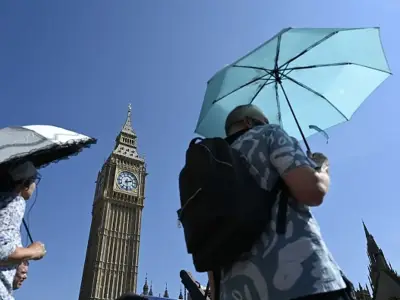
Despite this, temperatures are expected to remain around the average for this time of year, following a scorching period of five heatwaves in the first eight months of the year.
Its forecast for Sunday to Tuesday adds: "Mostly dry with sunny spells, though cloud and a few showers may affect northern areas. Rain and thundery showers could develop in the south, spreading north later. Temperatures near average."

Areas facing rain
- Northamptonshire
- Buckinghamshire
- West Sussex
- Gloucestershire
- Warwickshire
- Cornwall
- Devon
- Somerset
- Dorset
- Wiltshire
- Oxfordshire
- Berkshire
- Bedfordshire
- Argyll
- Fife
- Stirlingshire
- West Lothian
- Midlothian