
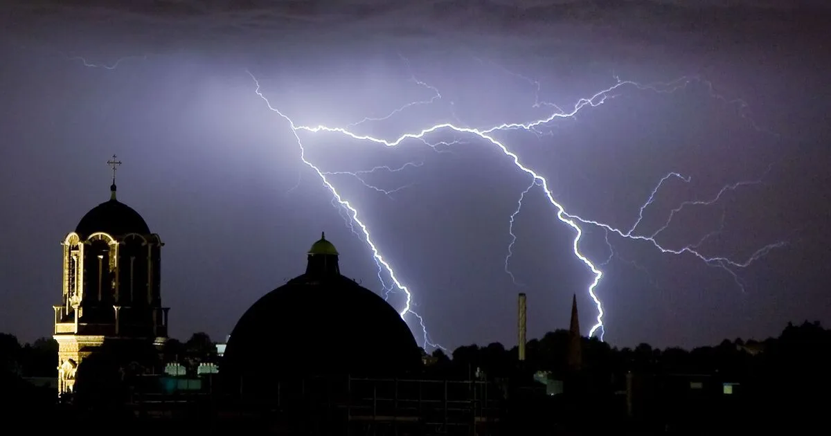
The Met Office has issued thunderstorm warnings for 18 areas across the UK, forecasting frequent lightning, gusty winds, torrential rain and hail. The warnings come shortly after rare red extreme heat alerts were issued for dozens of areas, with temperatures potentially reaching 40C.
The warnings are in effect for London and the South East, South West England, and East of England, from 5.21pm until 9pm on Monday. The Met Office stated: 'An area of thunderstorms moving east across the area will bring a spell of frequent lightning, gusty winds, torrential rain, and in a few places, hail.'
Although the storms are moving quickly, reducing the risk of widespread flooding, some locations could see 20-25mm of rainfall in a short period, leading to brief flooding. The main hazards are expected to be lightning strikes causing power cuts, difficult driving conditions, and localised damage from strong winds or hail.
The Met Office warned of possible damage to buildings and structures from lightning or hail, as well as some flooding of homes and businesses. Short-term loss of power and other services is also likely. Driving conditions are expected to be affected by spray, standing water and hail, leading to longer journey times, and delays to train services are possible.




