
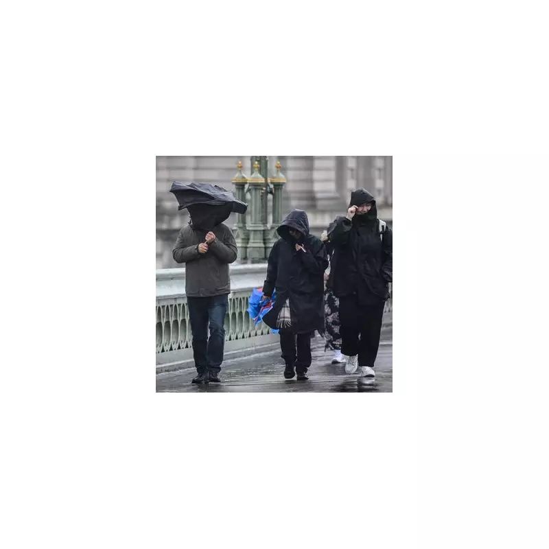
The Met Office has triggered a yellow weather warning for thunderstorms covering large swathes of the United Kingdom, alerting residents to prepare for potentially hazardous conditions.
When and Where the Storms Will Strike
The 12-hour weather alert comes into effect at 12 noon on Tuesday and remains active until midnight, covering regions across England and Wales. Areas under the warning include London, South East England, South West England, Wales, and parts of the West Midlands.
What to Expect During the Severe Weather
Meteorologists are warning of several potential hazards during this period:

- Heavy rainfall that could lead to sudden flooding
- Travel disruption on roads and railways
- Power cuts affecting homes and businesses
- Difficult driving conditions with reduced visibility
- Potential damage to buildings from lightning strikes
Expert Weather Forecast Details
While some areas will remain dry, the Met Office indicates that scattered thunderstorms are likely to develop throughout Tuesday afternoon and evening. Where these storms occur, rainfall could be particularly intense, with 20-30 mm of rain falling within an hour and some locations potentially seeing 40-50 mm in 2-3 hours.
There's additional concern about frequent lightning, hail, and strong gusty winds accompanying the heaviest rainfall. The combination of these elements creates multiple risk factors for residents in the affected regions.
Staying Safe During the Thunderstorms
Authorities are advising the public to take precautions, including avoiding travel if possible during the worst of the weather, securing outdoor items that could be blown away, and being prepared for potential power interruptions. Those who must travel should allow extra time for their journeys and exercise additional caution on the roads.
The weather warning comes as many parts of the UK experience unsettled conditions, with meteorologists continuing to monitor the situation closely for any developments or necessary updates to the alert status.


