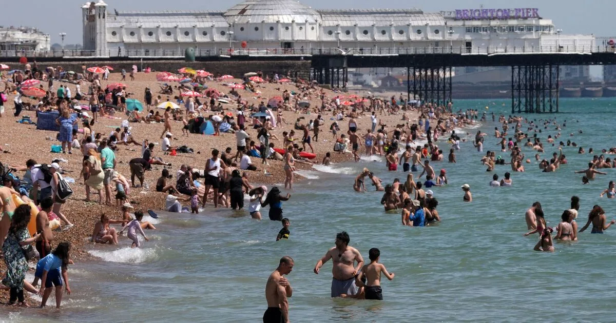
The Met Office has confirmed the UK's fourth heatwave of the year, with temperatures expected to reach 35°C in parts of the southeast on Wednesday, July 29. The heat will peak midweek before cooling down by Friday.
Amber heat health alerts have been issued for the East Midlands, East of England, London, and the South East for 24 hours from 9am on Wednesday. Yellow alerts are in place for the South West, West Midlands, and Yorkshire & The Humber. Elsewhere, northern England, Scotland, and Northern Ireland will see clouds, rain, and possible thunderstorms.
Met Office Deputy Chief Forecaster Gregory Wolverson said: "This is a short-lived spell of heat, but temperatures will climb quickly through the first half of the week, particularly in the southeast. By Wednesday, some areas could see temperatures in the mid-30Cs, and while the heat will not be widespread across the whole of the UK, it will be enough for parts of the southeast to likely meet official heatwave criteria by Thursday."

By Thursday, temperatures will remain high in the southeast, reaching 29°C, but elsewhere conditions will be cooler and more changeable. By Friday, temperatures are expected to return to near average for the time of year, with slightly below-average temperatures in the far north.