
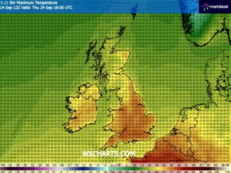
The Met Office is forecasting a rare September heat spike today (September 29), with temperatures potentially reaching 27C in parts of the UK. London is expected to see the most of the scorching heat, while much of the south and east of England will also experience conditions far warmer than usual both during the day and overnight.
However, not all regions will enjoy the sunshine, as several areas are set to be hit by heavy rain and sudden showers.
Warm air and a deep low-pressure system
Met Office Chief Forecaster Matthew Lehnert explained the cause of the unseasonably warm weather: “A deep area of low pressure far into the Atlantic is the primary driver behind the UK’s weather over the next few days.
“Its first influence will help pull some warmer air over much of the country on Tuesday, with a peak of 27°C likely – which is notably warm for the time of year. A warm night will follow across southern and eastern areas, with minimum temperatures of 19°C in places.”
According to forecasters, the late heat spike comes as a massive low-pressure system moves over the Atlantic Ocean, pushing warmer air towards Europe. However, the low-pressure could also bring heavy showers, especially later in the day.
Rain and wind for western areas
Met Office spokesperson Stephen Dixon said: “By later on Tuesday evening, we start to see the arrival of rain to western areas, where some western upslopes could see rainfall totals of between 20 and 30mm of rain.”
He said the areas most likely to experience these showers are “the south west of England, parts of Wales, Northern Ireland, and Scotland, that front of rain will gradually move eastwards Tuesday night and into Wednesday”.
Even more of the country looks likely to experience rain tomorrow (September 30), with the Met Office forecasting a “fairly wet and blustery day for many” and Britain’s coast likely to be hit with “some very large waves”.
Brighter spells and a dry weekend ahead
While Thursday and Friday will see further rain or showers, some heavy, for many areas, there should be some drier, brighter spells too. The weekend is also likely to see warm and dry conditions for many.
A Met Office forecaster wrote: “There’s a good degree of confidence that high pressure will become more dominant over the weekend with lots of dry and fine weather for many. Temperatures will generally be around average for the time of year, with this high pressure likely to linger for at least the start of next week.”




