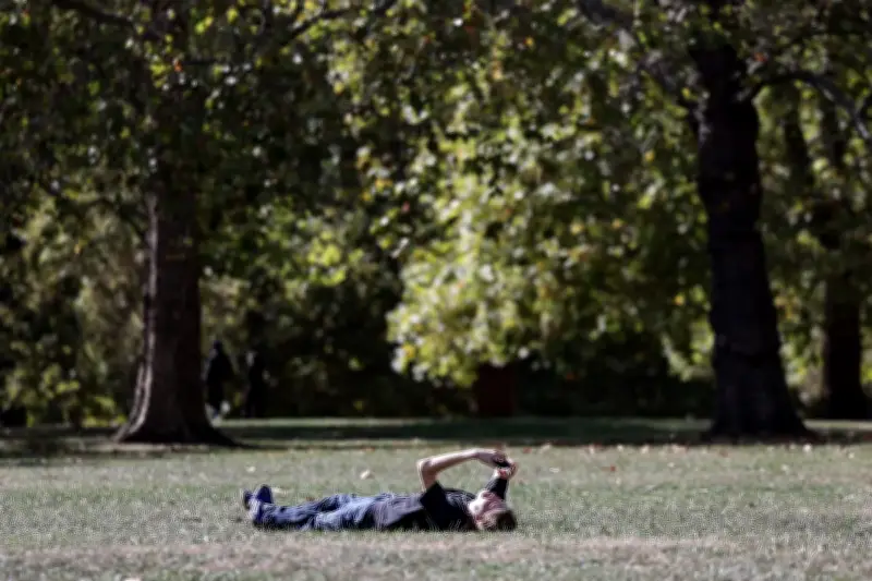
London is enjoying another spell of warm weather before temperatures take a tumble. Light patches of rain and blustery showers on Tuesday morning are expected to be followed by highs of 21C and sunshine.
Warm midweek, then a sharp cooldown
The Met Office predicts that Wednesday will be warm and dry with highs of 19C, with plenty of sunny spells and clear skies through the day. While Thursday is set to be cloudier, temperatures will still hover around 21C for much of the afternoon.
However, light rain showers will wash over the capital overnight and temperatures will plummet to just 15C on Friday, forecasters predict. The weekend is set to be “dry and bright”, but will see temperatures no higher than 14C - and lows of 7C.
Frostier mornings and mist patches
The next few days could also see some overnight mist and fog patches as high pressure lies close to the UK. The Met Office has also warned that mornings could begin to feel frostier as Londoners make their way into work. On Wednesday, temperatures at 7am are set to be a full 7C cooler than on Tuesday.
October has already seen temperatures fall from September - which was the UK’s joint-fourth warmest since records began.
Long-range outlook
In its long-range forecast, the Met Office said: “High pressure is expected to lie close to or across the UK through much of this period. This will mean largely fine and dry weather for many, perhaps with some overnight mist and fog patches.
“Weak frontal systems could bring some rain at times and if this happens it is most likely in the far south or perhaps far north of the UK. Winds are expected to be mostly light. Temperatures will likely be around normal for the time of year, with frosty mornings in the usual prone areas.”
It comes after the Met Office issued an update on the polar vortex that could cause chaos in London and across the UK this winter.