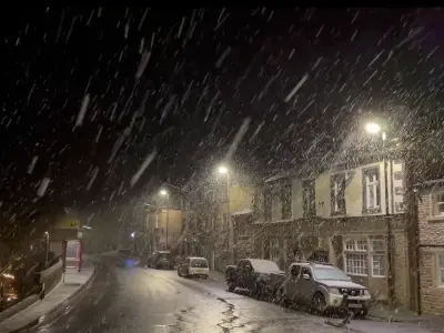
As temperatures drop and weather warnings are issued, knowing how to spot the primary sign of snow can help you prepare. Nimbostratus clouds are the main indicator that snowfall is approaching in sub-zero conditions.
Which Clouds Bring Snow
On a freezing day, pay attention to the shape of clouds in the sky. Cumulus clouds, the cotton wool puffs with flat bases, rarely produce any rain or snow, with chances lessening further if they are smaller. Stratocumulus, the most common cloud type in the UK, is also unlikely to bring snow.
The real possibility of snow arises with Nimbostratus Clouds, which are thick, dark-grey, featureless blanket clouds that stretch across the entire sky and often block out the sun or moon.
Other Cloud Types to Watch
If no nimbostratus are visible, look for Altostratus clouds, which are mid-level, grey or bluish sheet-like clouds that make the sun look like it is shining through frosted glass. They often thicken into nimbostratus and can bring light to moderate rain or snow as a front moves in.
The earliest possible warning comes with Cirrostratus, thin, high-altitude ice-crystal clouds that create a bright white halo or ring around the sun or moon. They often signal that a warm or occluded front is approaching, meaning snow or rain could arrive within 10 to 24 hours.
Heavy Snow Indicators
Cumulonimbus Clouds are almost certainly a sign of heavy snow or blizzards, or at least very heavy showers. They are towering, vertical, mountain-like storm clouds with flat, anvil-shaped tops, often accompanied by gusty winds or thunder.
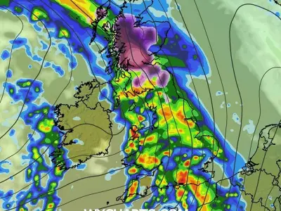
For this November, the Met Office warns that while a cold snap is bringing frost, ice, and brief wintry showers to northern Scotland and high ground this week, disruptive snow is not currently expected in most parts of the country.