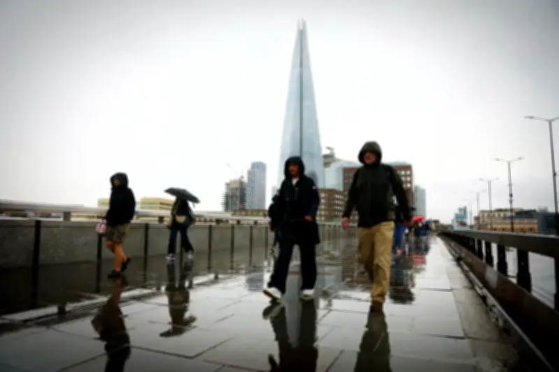
The Met Office has provided its latest update about the forthcoming “Godzilla” El Niño, and how it is expected to impact the capital this winter.
The El Niño event currently developing over the Pacific is shaping up to be the most significant in living memory.
Forecasters have said that the phenomenon is likely to cause the UK to experience more storms and rain over the coming autumn and winter, with Londoners urged to stock up on food and water in order to prepare for emergencies.
Short-range forecast and snow theories
Regarding the short-range forecast, the national forecaster has said there is “no indication” of widespread low-level snow in the coming weeks - debunking some online theories.
There will be rain across much of England from Wednesday, and temperatures will generally be close to, or slightly below, average for the time of year.
The imminent weather conditions are not expected to be affected by El Niño, which will peak towards the end of the year.
Unfounded polar vortex claims
As such, threats of an upcoming "polar vortex of snow and storms" are unfounded, according to the Met Office. It said El Niño "does not determine individual weather events" and the forecast didn't support the claim the UK is about to be "smashed" by widespread snow.
Longer term, the El Niño is expected to be largest since at least 1950, and possibly since the 19th century.
London, along with all of northwest Europe, should experience wetter and stormier conditions in the coming autumn and early winter, with increased odds of colder weather late in the winter.
Research and expert comments
A research paper published by the US government's NOAA Chemical Sciences Laboratory concluded that El Niño "tends to promote the breakdown of the polar vortex, especially in late winter".
The polar vortex is a band of strong westerly winds that circles around the North Pole and traps bitterly cold air near the Arctic - but a weakened or disrupted vortex becomes "wavy" and allows cold air to spill southward into North America and Europe.
Professor Adam Scaife, head of long-range forecasting at the Met Office, said: “We should be clear that this is an unprecedented event. I have never seen an El Niño signal this intense in our forecasts.
“If the forecast is accurate – and other forecast systems show similar extreme values – then 2026 will far exceed our recent experience of El Niño and its worldwide climate influences.”
The Met Office said that El Niño events also drive an increase in global average temperature, with 2027 “very likely” to be the hottest year on record.
Grahame Madge, a Met Office climate spokesman, said: “The El Niño event is still developing in the tropical Pacific and already it has surpassed the magnitude of previous events including the one in 2015/16.
“Globally, an El Niño event has several impacts, including altering rainfall patterns and increasing global temperature overall.
“There are known teleconnections between El Niño and the UK autumn and winter period. For example, there is a tendency towards a stormier start to autumn and winter and similarly there is a trend towards colder spells at the end of winter.”