
Ex-Tropical Cyclone Narelle, which brought heavy rain and flooding to the Northern Territory over the weekend, is forecast to re-intensify and potentially threaten the Perth region this weekend, according to the Bureau of Meteorology.
The system weakened to a tropical low on Monday after crossing the NT, but is expected to move into the Indian Ocean on Tuesday evening and track south parallel to the Western Australia coastline, regaining strength to become a severe cyclone by Wednesday evening.
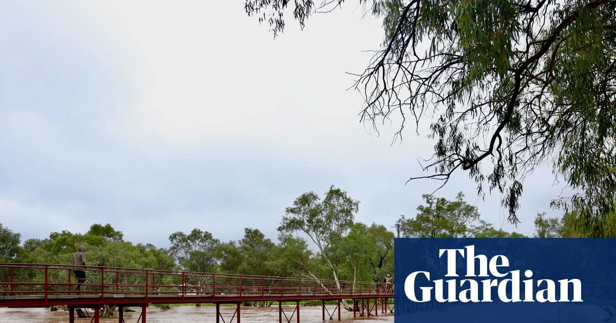
Northern Territory Chief Minister Lia Finocchiaro said the system moved across the NT faster than expected, but dropped significant rain, raising river systems and closing several roads, including the Stuart Highway near Adelaide River. Communities such as Daly River, Adelaide River and Katherine were warned of minor to major flooding after more than 100mm of rain fell on Sunday.

Bureau meteorologist Ilana Cherny said Narelle would move into the northern Kimberley region of WA on Monday afternoon, bringing damaging winds up to 100km/h and heavy rain. It is then expected to move offshore around the Pilbara coast and re-intensify into a severe tropical cyclone, possibly reaching category four by Thursday.
By Friday, the system may track further south to WA's central and southern parts, with potential for a crossing near Perth. Cherny noted that while such a southern impact is unusual, there are precedents, including Cyclone Alby in 1978 and Cyclone Seroja in 2021. The last tropical cyclone to cross Australia east to west was Steve in 2000, making Narelle a rare event.


