
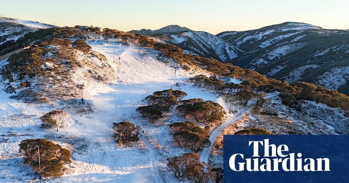
Two cold fronts moving in from the Great Australian Bight are set to deliver the snowiest start to an Australian ski season in years over the King’s birthday long weekend, forecasters say. Weatherzone predicts up to 70cm of snow could accumulate at higher resorts by Tuesday evening, with 15cm to 30cm expected at lower resorts.
A severe weather warning has been issued for South Australia and south-west Victoria, with damaging winds potentially topping 90km/h on Friday. The winds will impact parts of Victoria, including the Otway ranges and Mornington Peninsula, before moving into South Australia on Friday afternoon, reaching Adelaide and the Mount Lofty ranges.
The Bureau of Meteorology’s Jonathan How said south-east Australia can expect “very cold” and windy conditions over the three-day weekend. Melbourne is forecast for a high of 15C on Saturday and a low of 6C on Monday, while Sydney should see a high of 19C on Saturday and a low of 8C on Monday.
Snow showers are predicted across the alps of Victoria and NSW, with snow levels dropping to 1,500m by Friday and falling further to about 1,150m on Saturday. How warned of potential blizzard conditions across some alpine peaks and cautioned that black ice will pose a risk over the weekend across NSW and Victoria.
Despite the snowy start, Professor Emeritus David Karoly from the University of Melbourne and the Australian Climate Council said there is clear evidence of snow cover declining and snow season length reducing due to global warming. He noted that last year’s snow season started similarly but high temperatures and low snowfall prevented it from lasting the whole season.
Karoly said the impact of climate change will cause continued decline in snow cover and snow season length until at least 2050, the current target date for net zero emissions. He warned that by that stage, there will be very few commercially viable ski areas in Australia, even with increased snowmaking.




